You will get an Open WebGIS based Virtual City Modeller System

Project details
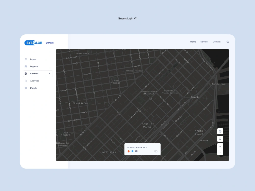
VCM (Virtual City Modeller) offers innovative tools for managing your urban infrastructure with 3D city models.
Decision makers and urban managers now feels that 3D models along with a centralised information system can help to quickly access the rapidly generating urban geo-spatial information. Addressing issues related to urban context has got a better visibility with VCM.
The benefit a planned city brings to its people is enormous. VCM can provide information to stakeholders and people regarding the exact details of developmental projects happening in their city with clear indications about the project status. The challenges and the project background are dealt comprehensively.
The advantages of using oblique imagery for municipal or corporation development can be achieved using VCM. Oblique images can be used to scrutinize urban structures effectively.
For administrative tasks, planning processes and for more critical decision making the 3D spatial data has to be integrated to all aspects of the urban developmental process. VCM is made for helping the end-users to get a better perspective of the urban landscape.
Programming Languages
PHP, HTML & CSS, JavaScriptCoding Expertise
Cross Browser & Device Compatibility, Performance Optimization, DesignWhat's included $12,500
These options are included with the project scope.
$12,500
- Delivery Time 30 days
- Number of Revisions 3
- Number of Pages 10
- Design Customization
- Content Upload
- Responsive Design
Frequently asked questions
About Ajith
GIS Mapping Projects and App Development
Kochi, India - 12:50 pm local time
My area of interest includes spatial data creation and conversion, Vector/Raster Image Analysis, Image segmentation, Muti-spectral and Hyperspectral Image processing. I have deep experience in Image classification and spatial statistics.
Steps for completing your project
After purchasing the project, send requirements so Ajith can start the project.
Delivery time starts when Ajith receives requirements from you.
Ajith works on your project following the steps below.
Revisions may occur after the delivery date.
Gather Requirements
Here, the basic application will be upgraded based on the gathered requirements.
Deliver First Draft
A web based URL will be provided where the client can see the application and suggest changes