You will get ArcGIS and QGIS Digitization and Visualization of maps
Project details
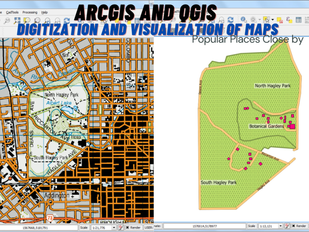
My expertise extends to data visualization and digitization, where I'll help you transform your GIS data into clear and informative maps, charts, and graphs. Whether you're an environmental consultant, or an urban planner, or anyone requiring accurate geographic data, I'm here to assist you in achieving your project goals.
Here's what you can expect from my services:
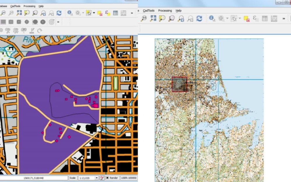
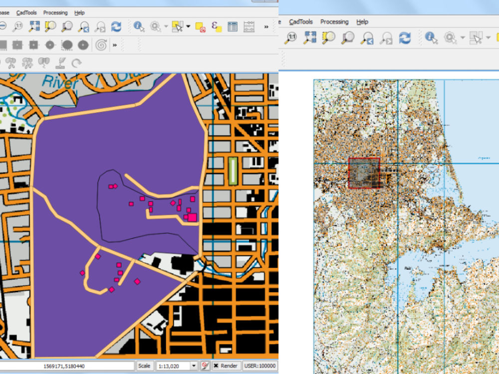
• Precise map digitization using industry-standard software.
• Georeferencing data to align your map with real-world coordinates.
• Data visualization for clear and insightful presentations.
• Quality control to ensure accuracy and reliable results.
• Timely delivery and open communication throughout the project.
Let's get started right away to discuss your specific needs and see how I can assist you in your GIS projects.
Please reach out!
Best Wishes,
Anjum.
Here's what you can expect from my services:
• Precise map digitization using industry-standard software.
• Georeferencing data to align your map with real-world coordinates.
• Data visualization for clear and insightful presentations.
• Quality control to ensure accuracy and reliable results.
• Timely delivery and open communication throughout the project.
Let's get started right away to discuss your specific needs and see how I can assist you in your GIS projects.
Please reach out!
Best Wishes,
Anjum.
Data Tool
ArcGISWhat's included
| Service Tiers |
Starter
$30
|
Standard
$60
|
Advanced
$120
|
|---|---|---|---|
| Delivery Time | 1 day | 2 days | 3 days |
Number of Revisions | 1 | 2 | 3 |
Number of Graphs/Charts | 2 | 4 | 6 |
Data Source Connectivity | |||
Web Embedding | |||
Interactive/Animated Visuals |
Optional add-ons
You can add these on the next page.
Fast Delivery
+$30 - $40
2 reviews
(2)
(0)
(0)
(0)
(0)
This project doesn't have any reviews.
IN
Irina N.
Nov 1, 2025
Create a small visualisation with given data in ArcGIS
MT
Michael T.
Jun 25, 2024
Drainage Area Map for residential building
About Anjum
GIS Analyst for Real Estate & Site Feasibility | Zoning, Parcels,
Islamabad, Pakistan - 8:06 am local time
Most projects start with one simple question: Is this site viable?
I use GIS to answer that clearly by combining parcel data, zoning, land-use regulations, environmental constraints, access, and surrounding infrastructure into easy-to-read maps and analysis.
My work typically includes:
• Parcel and ownership mapping
• Zoning and land-use overlays
• Site constraints analysis (flood zones, water bodies, slopes, setbacks)
• Access, road proximity, and surrounding context mapping
• Feasibility and due-diligence maps for real estate decisions
I work primarily with ArcGIS and QGIS and focus on accuracy, clarity, and practical results. I am comfortable working with public datasets, normalizing data, and presenting findings in a way that non-technical stakeholders can easily understand.
If you already have data or a site location, I can review the files first and then define the scope, cost, and timeline clearly before starting.
Steps for completing your project
After purchasing the project, send requirements so Anjum can start the project.
Delivery time starts when Anjum receives requirements from you.
Anjum works on your project following the steps below.
Revisions may occur after the delivery date.
Preparation and Setup
- Preparation to ensure we have the necessary data and details to get started. - If needed, we georeference the map to align it with real-world coordinates. - Creation of new vector layer in GIS software for digitizing.
Digitization
- Selection of the appropriate digitizing data. - Digitize the features on the map. - Input of attribute data for each feature if applicable or required.