You will get a Custom GIS Web App with Python, Django, Leaflet & GeoPandas
Project details
Need a professional GIS developer to build a web-based spatial app or geospatial data tool?
I'm a Geomatics and Surveying Engineer with advanced experience in Python, Django, Leaflet, GeoPandas, and spatial analysis tools. I specialize in building custom GIS platforms for visualizing, analyzing, and managing geospatial data.
Whether you're a researcher, business owner, planner, or developer — I can help bring your geospatial vision to life.
Programming Languages
HTML & CSS, JavaScript, PythonWhat's included
| Service Tiers |
Starter
$100
|
Standard
$250
|
Advanced
$500
|
|---|---|---|---|
| Delivery Time | 5 days | 7 days | 14 days |
Number of Revisions | 0 | 1 | 3 |
Design Customization | - | - | - |
Content Upload | - | - | - |
Responsive Design | - | - | - |
Source Code | - | - | - |
2 reviews
(2)
(0)
(0)
(0)
(0)
This project doesn't have any reviews.
NJ
Nathan J.
Jul 28, 2025
Separate the existing list between vacant lots vs occupied homes
Great work. Thank you!
CD
Chris D.
Aug 21, 2024
Ashdown Forest analysis
Excellent communicator. Fast, efficient and great quality. Highly recommended,
About Mohamed Mehdi
Geomatics | 3D Modelling, Modelling, GIS, 3D Mapping, 2D Mapping
100%
Job Success
Manouba, Tunisia - 1:07 am local time
I am a Geomatics and Land Surveying Engineer ️ who recently graduated with outstanding academic achievements. Throughout my academic journey and professional experiences, I have successfully completed numerous projects, demonstrating my expertise in geospatial technology. I excel in the development of Geographic Information Systems (GIS) maps, utilizing industry-standard software such as ArcGIS and QGIS. I love to solve/explain real world problems with GIS Maps and Data Visualization. I can also help you with your Research Project.
Services :
Geo Spatial Analysis
Land Use Land Cover Mapping
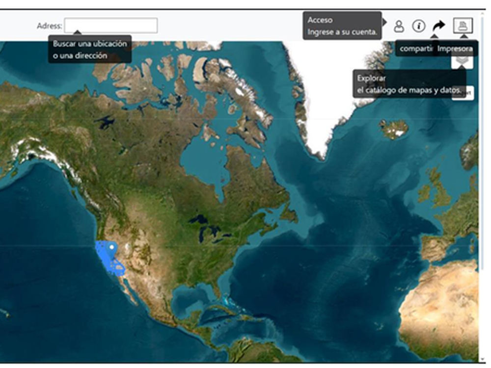
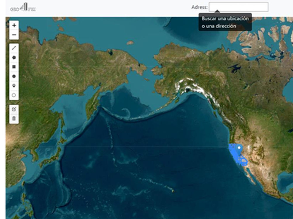
Web Mapping (Leaflet, GeoDjango, Mapbox)
Python Automation for GIS Workflows
Data Conversion (Shapefile, KML, GeoJSON, etc.)
Custom Thematic / Choropleth Maps
Georeferencing , Digitization & Projections
Spatial Analysis.
3D and Topographic Modeling (DEM, TIN, LiDAR)
And much more.
Place your first order now and get 10% OFF.
📩 Please contact me before placing orders. Cheers!
Steps for completing your project
After purchasing the project, send requirements so Mohamed Mehdi can start the project.
Delivery time starts when Mohamed Mehdi receives requirements from you.
Mohamed Mehdi works on your project following the steps below.
Revisions may occur after the delivery date.
Kickoff & Initial Consultation
The first step involves an initial meeting or discussion with the client to clarify requirements, goals, and expectations.
Research & Planning
This step involves gathering all necessary information, conducting research, and creating a detailed project plan.