You will get georeference, digitize using ArcGIS ,QGIS
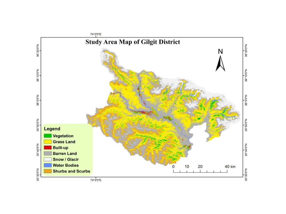
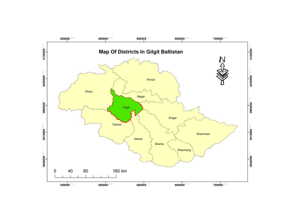
Project details
The digitized vector files will be provided in standard GIS formats such as GeoJson, shapefiles, GeoPackage, or KML. These formats ensure compatibility with various Geographic Information System (GIS) platforms, allowing seamless integration and utilization of the digitized data for spatial analysis and mapping purposes.
Data Tool
ArcGISWhat's included
| Service Tiers |
Starter
$20
|
Standard
$50
|
Advanced
$100
|
|---|---|---|---|
| Delivery Time | 1 day | 2 days | 5 days |
Number of Revisions | 0 | 0 | 0 |
Source Code |
Optional add-ons
You can add these on the next page.
Fast Delivery
+$10Frequently asked questions
2 reviews
(0)
(1)
(1)
(0)
(0)
This project doesn't have any reviews.
CK
Cody K.
Oct 17, 2025
Plot Map Creation for Land Listing - Drone Photos
LS
Liron S.
Jul 9, 2025
Georeferencing PDF Documents in QGIS
Unfortunately lacked basic skills of a software which Sher claimed to be experienced with.
About Sher
GIS Analyst | Flood Risk Mapping, Remote Sensing & Web GIS Dashboards
50%
Job Success
Gilgit, Pakistan - 4:15 pm local time
I turn complex geospatial data into clear, actionable insights for researchers, businesses, and planners.
I specialize in solving real-world spatial problems — from flood risk mapping to land use analysis and interactive GIS dashboards.
🔹 What I can help you with:
GIS Mapping & Cartography (QGIS, ArcGIS Pro)
Remote Sensing & LULC Classification (Google Earth Engine)
Flood Risk & Environmental Analysis
Web GIS & Dashboards (React, Leaflet, Mapbox)
Spatial Data Processing (Python, GeoPandas)
🔹 Proven Work:
Flood Risk Assessment (Shimshal Valley)
LULC Mapping Application (Google Earth Engine)
3D Sea Level Rise Analysis (Miami Beach)
Custom Cartographic Map Design Projects
🔹 Why clients choose me:
✔ Accurate and decision-ready outputs
✔ Clean, professional map design
✔ Fast turnaround & clear communication
✔ Strong problem-solving approach
Steps for completing your project
After purchasing the project, send requirements so Sher can start the project.
Delivery time starts when Sher receives requirements from you.
Sher works on your project following the steps below.
Revisions may occur after the delivery date.
Get project data.
please send me image to digitize and georeference
Receive data
Receive digitized and georeferenced Image