You will get georeference maps, satellite images, and scanned maps in GIS
Project details
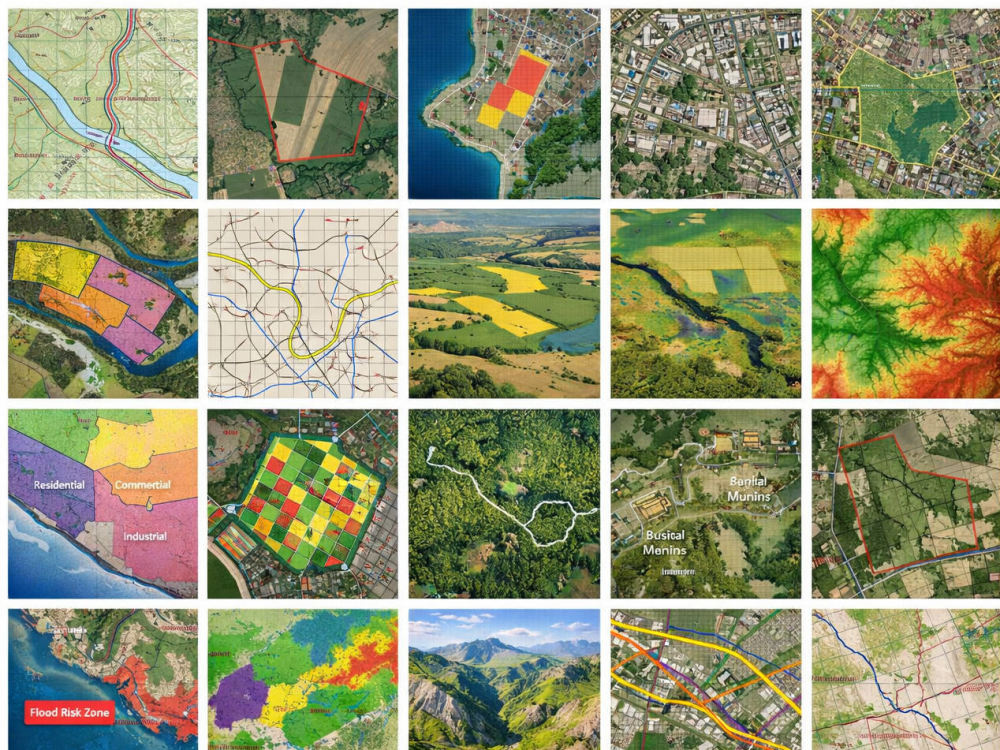
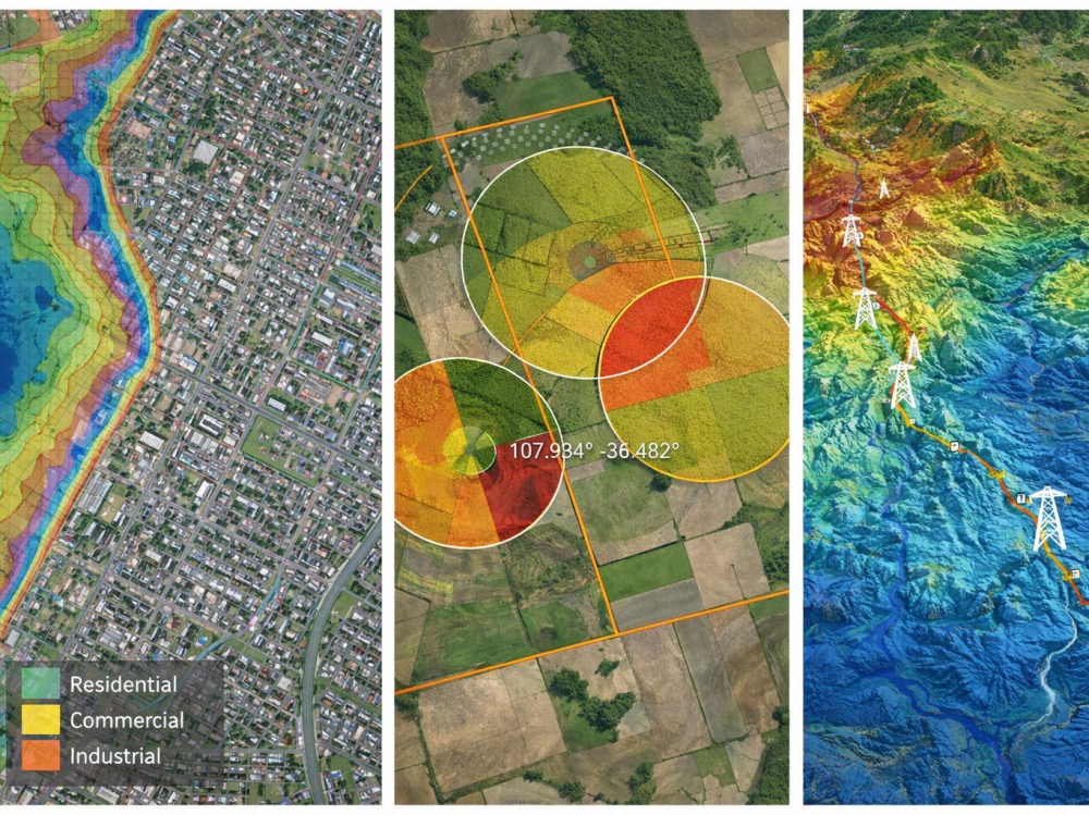
You will get accurate and professionally georeferenced maps using QGIS or ArcGIS. I will align your scanned maps, satellite images, or raster data with real-world coordinates so they can be used in GIS analysis and mapping projects.
I focus on accuracy, clear communication, and timely delivery so that clients receive reliable GIS outputs for their projects.
I focus on accuracy, clear communication, and timely delivery so that clients receive reliable GIS outputs for their projects.
Data Tool
ArcGISWhat's included
| Service Tiers |
Starter
$10
|
Standard
$25
|
Advanced
$45
|
|---|---|---|---|
| Delivery Time | 1 day | 2 days | 3 days |
Number of Revisions | 1 | 2 | 3 |
Number of Pages Mined/Scraped | 1 | 3 | 5 |
Frequently asked questions
About Jiban
GIS Analyst | QGIS | ArcGIS | Georeferencing | Digitization | Spatial
Noida, India - 2:22 pm local time
Steps for completing your project
After purchasing the project, send requirements so Jiban can start the project.
Delivery time starts when Jiban receives requirements from you.
Jiban works on your project following the steps below.
Revisions may occur after the delivery date.
Receive and review client map/image data
Identify coordinate reference system (CRS)