You will get Geospatial Data Analysis & 2D/3D Map Visualization in ArcGIS Pro

Project details
You will get a high-quality, data-driven 2D or 3D map created with ArcGIS Pro, tailored to your project’s needs—whether for urban planning, environmental studies, infrastructure design, or spatial analysis. With 7+ years of experience in civil engineering and a master's in BIM, I specialize in translating complex geospatial data into clear, accurate, and visually compelling maps.
What sets this project apart is the combination of technical precision and visual clarity. I integrate engineering insight with GIS expertise to provide professional results that support informed decision-making. All deliverables are 100% original, built on reliable spatial analysis, and aligned with your goals.
Whether you need a quick thematic map, in-depth spatial analysis, or interactive 3D visualization, I’m here to help you visualize your data and tell its story effectively.
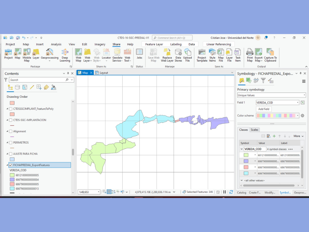
Data Tool
ArcGISWhat's included
| Service Tiers |
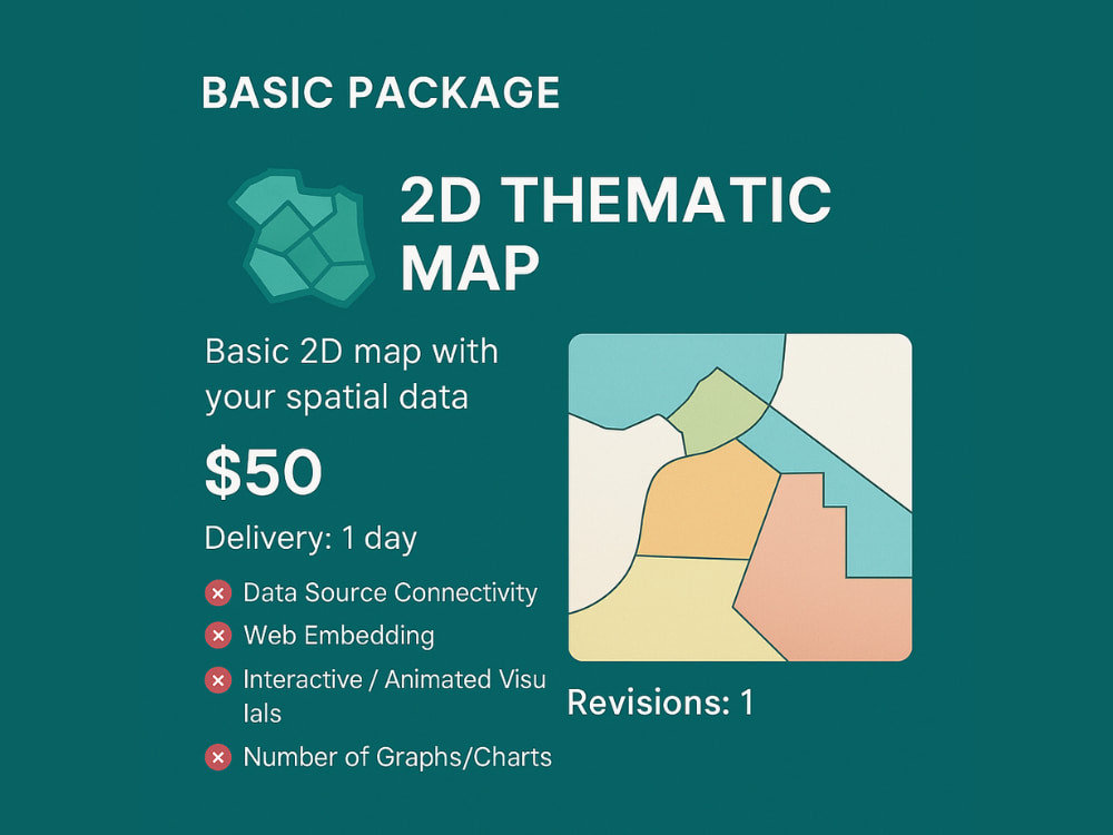
Starter
$50
|
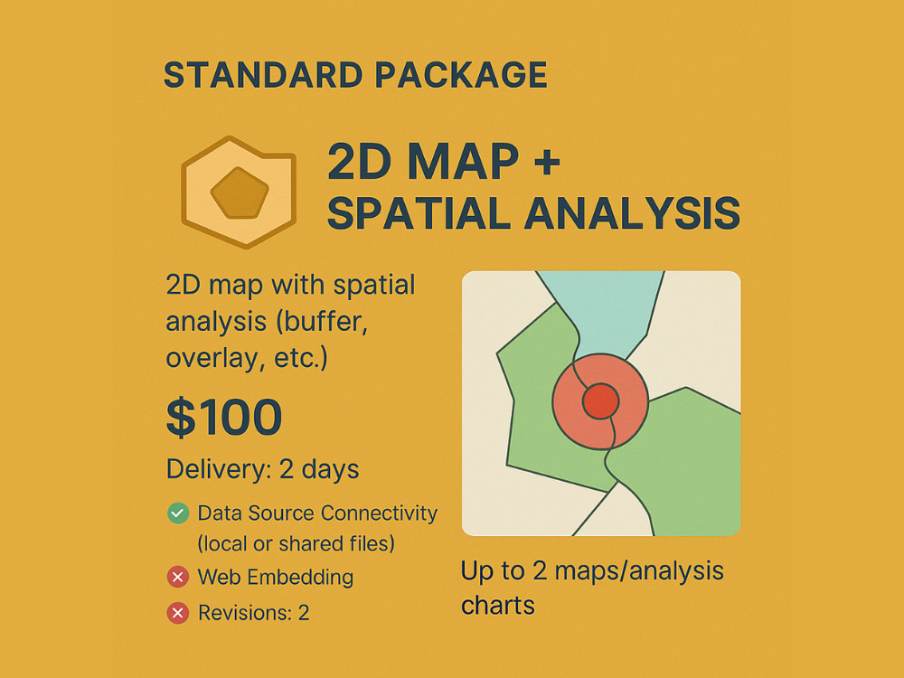
Standard
$100
|
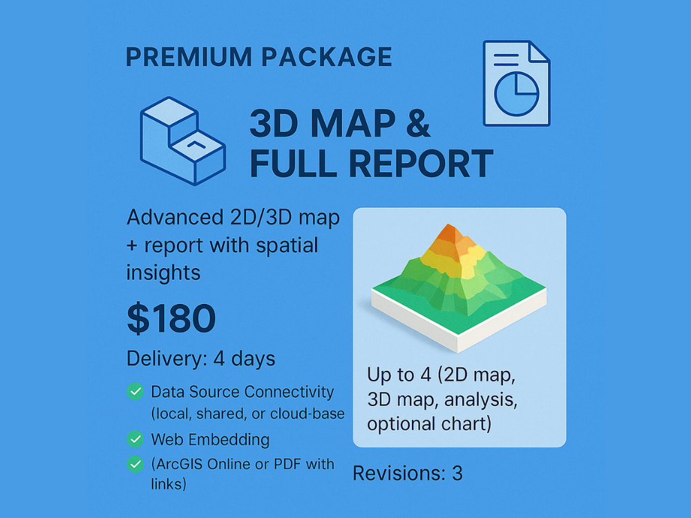
Advanced
$180
|
|---|---|---|---|
| Delivery Time | 1 day | 2 days | 4 days |
Number of Revisions | 1 | 2 | 3 |
Number of Graphs/Charts | 1 | 2 | 4 |
Number of Variations | 1 | 2 | 3 |
Data Source Connectivity | - | ||
Web Embedding | - | - | |
Interactive/Animated Visuals | - | - |
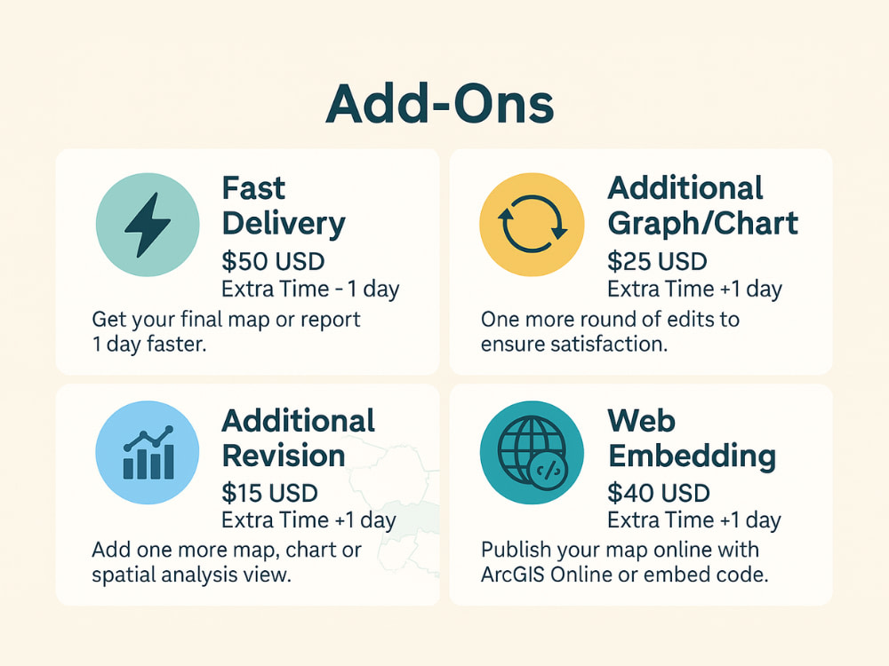
Optional add-ons
You can add these on the next page.
Fast Delivery
+$50
Additional Revision
+$15
Additional Graph/Chart
(+ 1 Day)
+$25
Web Embedding
(+ 1 Day)
+$40Frequently asked questions
1 review
(1)
(0)
(0)
(0)
(0)
This project doesn't have any reviews.
AJ
Anthony J.
Feb 17, 2025
3D Interior Model from Point Cloud
About Cristian
BIM for Infrastructure | Civil 3D | Revit | Navisworks | Infraworks
Barranquilla, Colombia - 11:23 am local time
📌 What I can do for you:
✅ BIM Execution Plan (BEP) development
✅ Architectural & civil BIM modeling (Revit, CYPE, OpenBuildings)
✅ 3D road & platform design using Bentley OpenRoads Designer
✅ 4D construction simulations with Navisworks
✅ 5D cost estimation from IFC models (CYPE Arquimedes, Revit)
✅ Dynamo automation for infrastructure workflows
✅ Geospatial data analysis & 2D/3D mapping (ArcGIS Pro, QGIS, ReCap)
✅ Construction planning & scheduling with Primavera P6
✅ Custom Notion dashboards for project management
✅ 3D site modeling & visualization using InfraWorks
✅ Structural analysis with Autodesk Robot (Eurocode, ACI, ASCE)
🔧 Tools I work with:
Autodesk Revit | Civil 3D | Navisworks | CYPE | OpenRoads Designer | InfraWorks | Subassembly Composer | ArcGIS Pro | QGIS | SSA | Robot Structural Analysis | Dynamo | Primavera P6 | Notion
🎯 Let’s work together to build accurate, professional, and high-impact deliverables.
Steps for completing your project
After purchasing the project, send requirements so Cristian can start the project.
Delivery time starts when Cristian receives requirements from you.
Cristian works on your project following the steps below.
Revisions may occur after the delivery date.
✅ Data Review & Clarification
I review the uploaded files and clarify any missing or unclear requirements.
📐 Project Setup in ArcGIS Pro
I set up the geodatabase, import your data, and define the coordinate system.