You will get gis data conversion to any other format
Project details
Welcome to the hub of GIS data transformation! I'm Abdul Wahid, a dedicated GIS Specialist passionate about optimizing your geospatial data. With my expertise, I provide seamless and accurate GIS data conversion services to elevate your spatial data.
Services Offered:
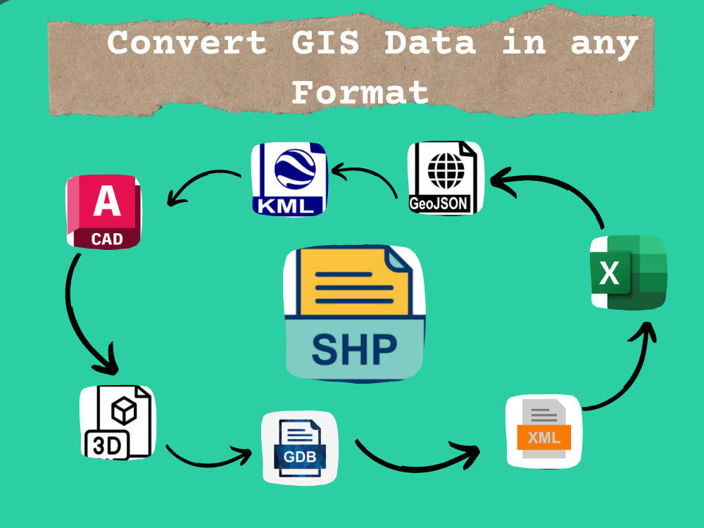
Transformations from Shapefile, GeoJSON, KML/KMZ, GeoTIFF, File Geodatabase, CSV, and more.
Expertise in PostGIS Database, GEOJSON, XML, JSON, CAD, DWG, DXF, OBJ, TIFF, FBX conversions.
Bonus:
Additionally, I specialize in creating scripts and models to automate the conversion process, streamlining your workflow for enhanced efficiency. Let's make your GIS data work smarter, not harder
What Sets Me Apart:
Experience the precision and efficiency of meticulous data transformation tailored to your project needs. Let's embark on a transformative journey together, where your GIS data seamlessly transcends formats.
Contact Me:
Feel free to reach out for a customized GIS data solution.
Services Offered:
Transformations from Shapefile, GeoJSON, KML/KMZ, GeoTIFF, File Geodatabase, CSV, and more.
Expertise in PostGIS Database, GEOJSON, XML, JSON, CAD, DWG, DXF, OBJ, TIFF, FBX conversions.
Bonus:
Additionally, I specialize in creating scripts and models to automate the conversion process, streamlining your workflow for enhanced efficiency. Let's make your GIS data work smarter, not harder
What Sets Me Apart:
Experience the precision and efficiency of meticulous data transformation tailored to your project needs. Let's embark on a transformative journey together, where your GIS data seamlessly transcends formats.
Contact Me:
Feel free to reach out for a customized GIS data solution.
Data Tool
ArcGISWhat's included
| Service Tiers |
Starter
$15
|
Standard
$30
|
Advanced
$50
|
|---|---|---|---|
| Delivery Time | 3 days | 2 days | 1 day |
Number of Revisions | 1 | 2 | 2 |
Number of Pages Mined/Scraped | 2 | 3 | 4 |
Number of Sources Mined/Scraped | 3 | 4 | 6 |
2 reviews
(2)
(0)
(0)
(0)
(0)
This project doesn't have any reviews.
FM
Faiz M.
Sep 18, 2025
ArcGIS Pro Specialist Needed for Mapping and Data Analysis
RM
Ruapu M.
May 27, 2024
GIS Analyst/Researcher
Adbul absolutely overdelivered with his work. The task I set was quite long and the structure I required was vague, but Abdul took it upon himself to structure it in a concise output that I can share with my staff. I recommend his services.
About Abdul
GIS | Remote Sensing | WebGIS | Cartography| MHVRA | HEC-RAS | PowerBI
50%
Job Success
Chitral, Pakistan - 9:43 pm local time
I help businesses, researchers, planners, and government organizations extract actionable insights from spatial data using the latest GIS and remote sensing tools like ArcGIS, QGIS, ENVI, ERDAS Imagine, SNAP, and drone mapping software.
With over 4 years of experience, I specialize in:
Georeferencing and Digitization
Land use/land cover classification
Disaster risk assessment (GLOFs, floods, landslides)
Urban planning & infrastructure mapping
Drone imagery analysis & photogrammetry
Hydrological and environmental modeling
Remote sensing for agriculture & forestry
Geospatial data processing using ArcGIS, QGIS, ENVI, ERDAS Imagine, SNAP
Data Visualization using GIS and transferring it into Power BI for Insights
🛰️ Whether you need satellite data processing, drone image analysis, or custom GIS dashboards, I deliver high-quality maps and reports to support urban planning, environmental conservation, climate research, and more.
🏆 Why Choose Me?
✅ 100% accurate and detailed GIS deliverables
✅ Clear communication and timely delivery
✅ Custom solutions tailored to your project needs
✅ High-resolution outputs ready for reports, publications, or decision-making
Steps for completing your project
After purchasing the project, send requirements so Abdul can start the project.
Delivery time starts when Abdul receives requirements from you.
Abdul works on your project following the steps below.
Revisions may occur after the delivery date.
Looking Forward
after get complete information about the task i will start working on it , i will get review from cilent side with respect to time.