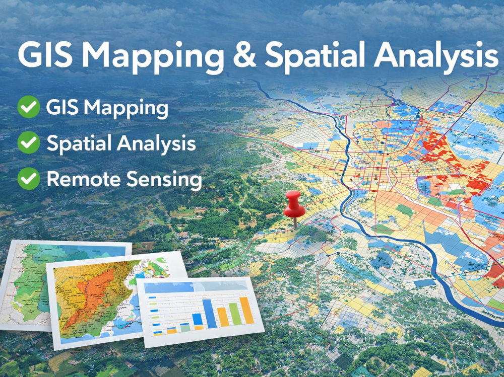
You will get GIS mapping and spatial analysis for your geospatial project
Project details
I provide GIS mapping and spatial analysis for geospatial, remote sensing, and data-driven projects. This service is designed for clients who need clear map outputs, organized analysis, and reliable delivery.
I can help with GIS mapping, spatial analysis, remote sensing workflows, geospatial data processing, and chart-based outputs. Whether your project involves land use, environmental data, urban analysis, satellite imagery, or location-based research, I will deliver clean and understandable results based on your requirements.
What you can expect:
• Clear communication from start to finish
• Careful review of your project requirements and data
• Organized outputs in the agreed format
• Reliable delivery and attention to detail
My background is in Civil Engineering, with research experience in remote sensing, image segmentation, change detection, and geospatial analysis. I work with Python, GIS, and computer vision methods to support high-quality geospatial projects.
Machine Learning Tools
ArcGIS, Google Sheets, Keras, MATLAB, Microsoft Excel, NumPy, OpenCV, pandas, Python, Python Scikit-Learn, PyTorch, scikit-learn, SciPy, TensorFlow, XGBoostWhat's included
| Service Tiers |
Starter
$40
|
Standard
$90
|
Advanced
$180
|
|---|---|---|---|
| Delivery Time | 3 days | 5 days | 7 days |
Number of Revisions | 1 | 2 | 3 |
Number of Model Variations | 1 | 2 | 3 |
Number of Scenarios | 1 | 2 | 3 |
Number of Graphs/Charts | 1 | 2 | 7 |
Model Validation/Testing | - | - | |
Model Documentation | |||
Data Source Connectivity | - | - | |
Source Code | - |
Optional add-ons
You can add these on the next page.
Fast Delivery
+$15 - $30
Additional Revision
+$10
Additional Model Variation
+$15
Additional Scenario
+$15
Additional Graph/Chart
+$10
Model Validation/Testing
(+ 1 Day)
+$20
Data Source Connectivity
(+ 1 Day)
+$20
Source Code
+$25Frequently asked questions
About Sheraz
Remote Sensing & GeoAl Engineer | Computer Vision, GIS
Gwangju, South Korea - 11:34 pm local time
I can help with:
1; Remote sensing and satellite image analysis
2; Image segmentation and change detection
3; GIS and spatial data analysis
4; Python-based data processing and model development
5;Computer vision for geospatial applications
I focus on clear communication, reliable work, and delivering accurate results for research and real-world projects.
Steps for completing your project
After purchasing the project, send requirements so Sheraz can start the project.
Delivery time starts when Sheraz receives requirements from you.
Sheraz works on your project following the steps below.
Revisions may occur after the delivery date.
Review project requirements and data
I will review your project goal, available data, area of interest, and expected outputs to confirm the best analysis approach before starting the work.
Process data and perform analysis
I will clean, organise, and analyse the provided data to create the requested maps, outputs, charts, or analysis results.