You will get GIS Mapping for your Area of Interest(AOI)

Project details
Map Data
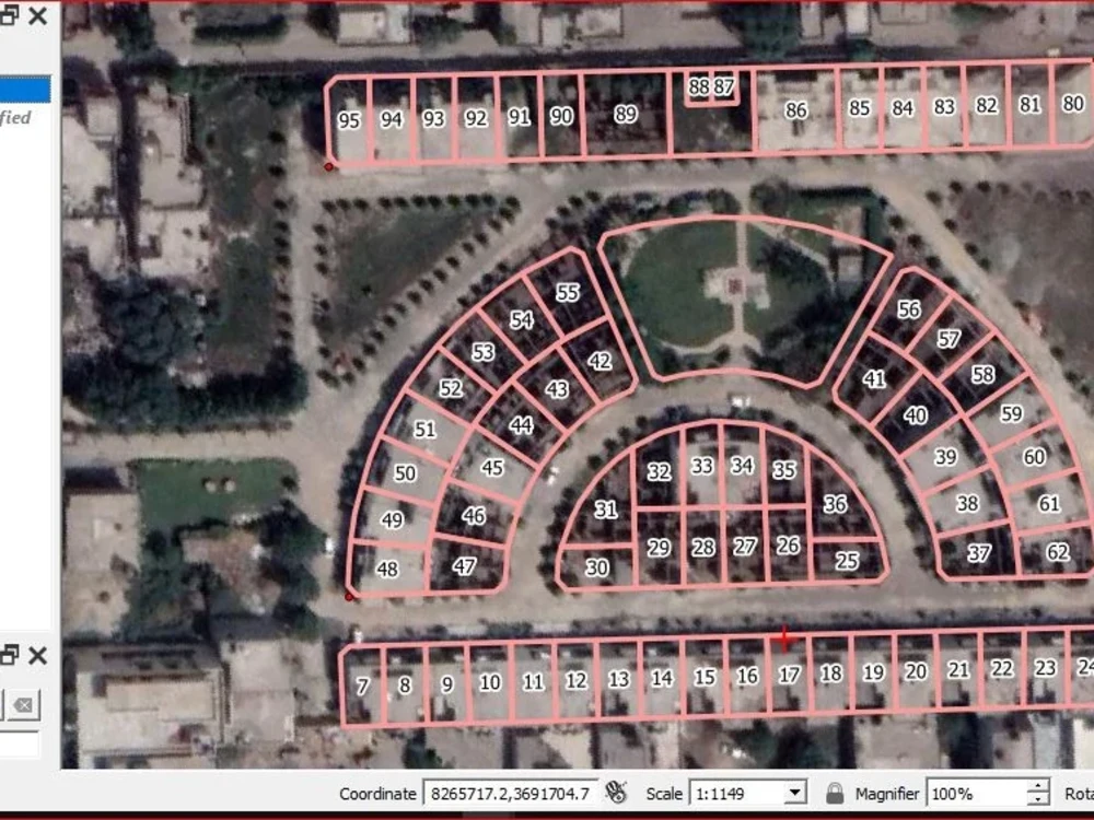
Mapping on Satellite imagery, or provided imagery
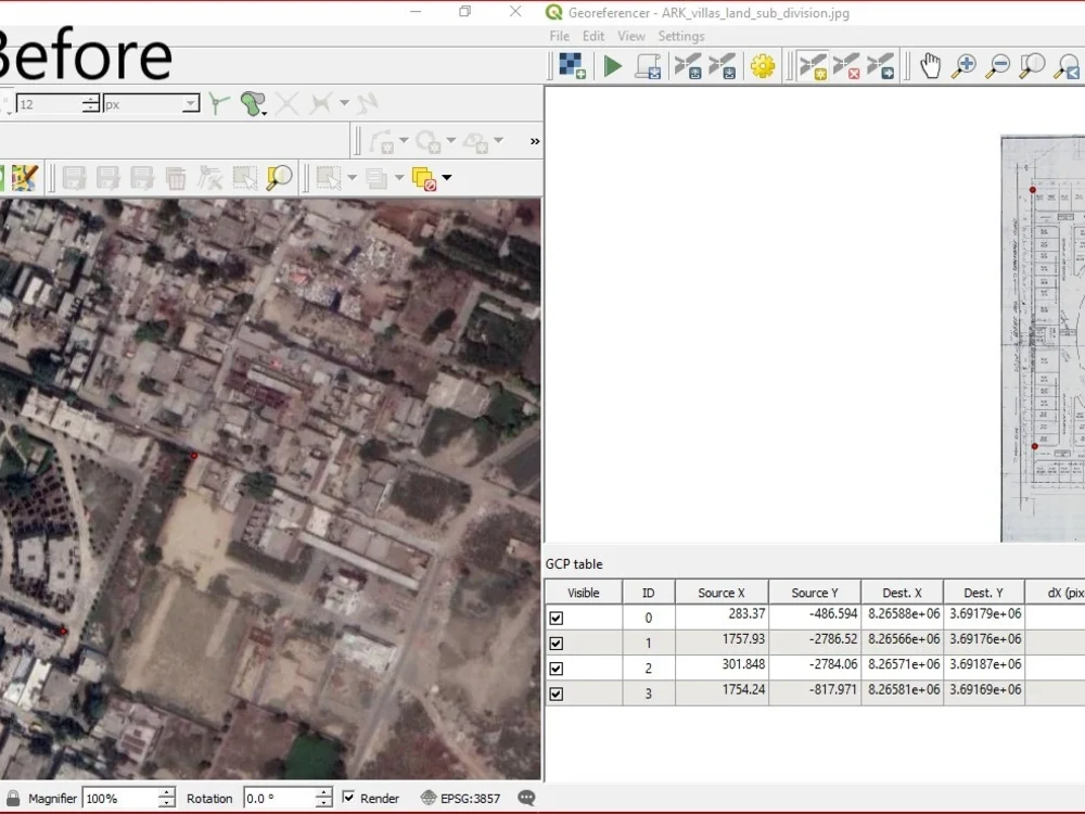
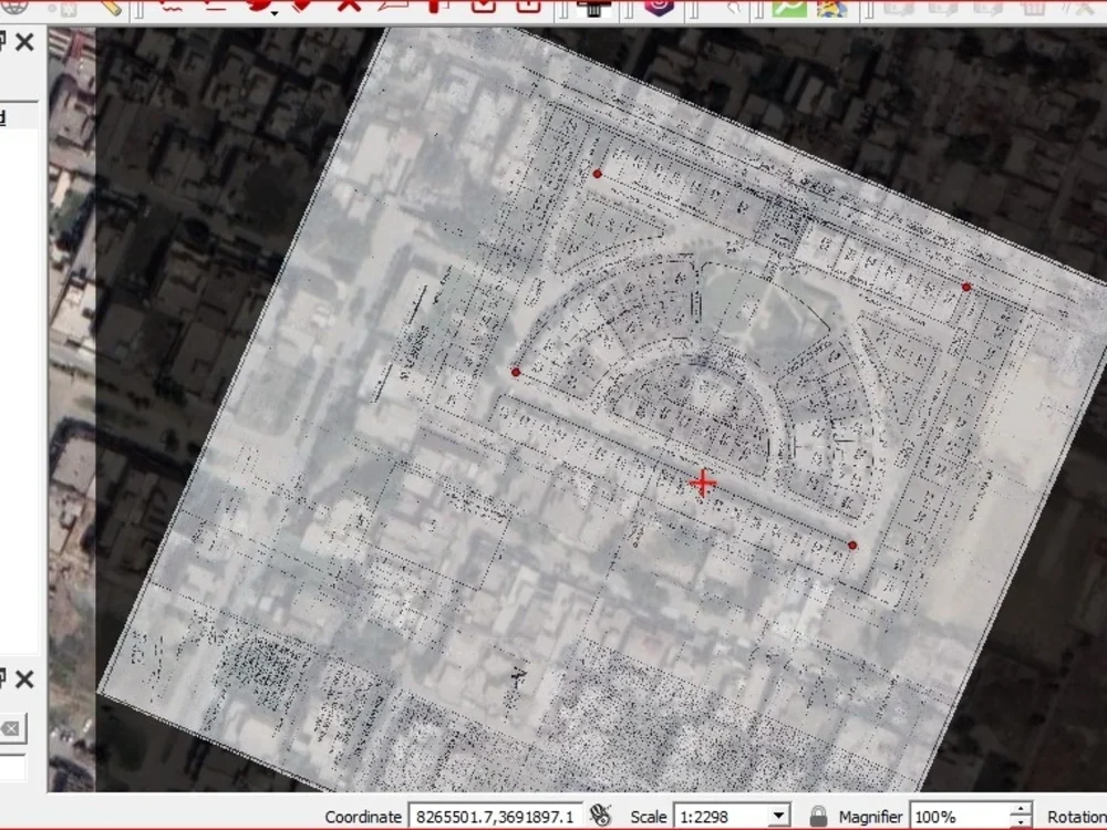
GeoRef imageries on Satellite imageries, Paper map to Satellite imageries
Map Attribute through field calculator, and SQL Queries
Transform data from one projection system to other
Apply Topology on data in order clean data from topological errors
transform GIS data from one format to other
Apply Cartography on Data
Design data through symbols and labels and save them for later use
Apply symbols through the historical and geographical context to provide meaning to your data
Cartography provides meaningful insights and better visibility into data
When applying Cartography to data reduces the workload on design layouts
Design Layouts
Design Layouts upon meeting client requirements and understanding their design thinking is a critical phase
Create Layouts upon preferable page size
Add Attribute table to layouts to statistical or another way to describe the mapping
Add Graphs and charts to your layouts to describe stats and contexts
Add legends and modify legends to describe the purpose of each symbol on the map
Add Title or Heading to Layouts
Add North Arrow, Scales and frames to properly and accurately describe the map
Mapping on Satellite imagery, or provided imagery
GeoRef imageries on Satellite imageries, Paper map to Satellite imageries
Map Attribute through field calculator, and SQL Queries
Transform data from one projection system to other
Apply Topology on data in order clean data from topological errors
transform GIS data from one format to other
Apply Cartography on Data
Design data through symbols and labels and save them for later use
Apply symbols through the historical and geographical context to provide meaning to your data
Cartography provides meaningful insights and better visibility into data
When applying Cartography to data reduces the workload on design layouts
Design Layouts
Design Layouts upon meeting client requirements and understanding their design thinking is a critical phase
Create Layouts upon preferable page size
Add Attribute table to layouts to statistical or another way to describe the mapping
Add Graphs and charts to your layouts to describe stats and contexts
Add legends and modify legends to describe the purpose of each symbol on the map
Add Title or Heading to Layouts
Add North Arrow, Scales and frames to properly and accurately describe the map
Data Tool
ArcGISWhat's included
| Service Tiers |
Starter
$100
|
Standard
$150
|
Advanced
$200
|
|---|---|---|---|
| Delivery Time | 5 days | 7 days | 10 days |
Number of Revisions | 4 | 7 | 9 |
Frequently asked questions
About Asghar
GIS Analyst & GIS Developer
Islamabad, Pakistan - 4:21 pm local time
Steps for completing your project
After purchasing the project, send requirements so Asghar can start the project.
Delivery time starts when Asghar receives requirements from you.
Asghar works on your project following the steps below.
Revisions may occur after the delivery date.
Receive complete documentation
Receive complete documentation for the project from the client
Complete the project
Complete the project as per client requirement