You will get GIS Vector and Raster data conversion
Project details
Accurate GIS Data Conversion Services – Vector & Raster Formats:
With over a decade of hands-on experience in geospatial data processing, I specialize in delivering highly accurate and reliable GIS data conversions across a wide range of formats. My services include:
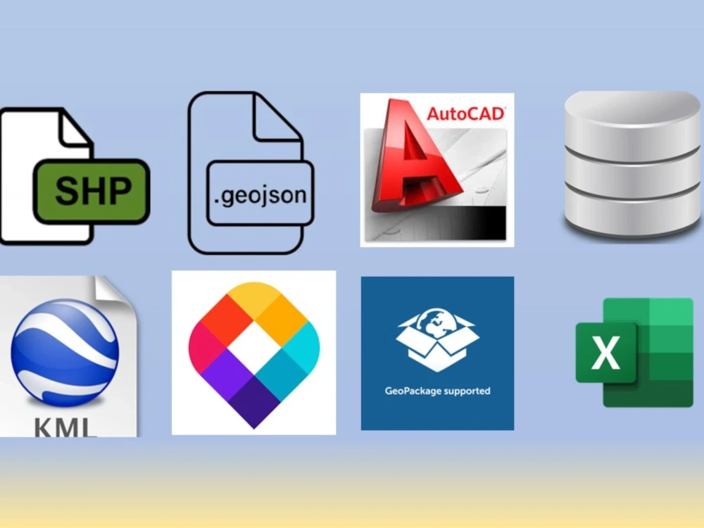
• 🔹 Vector Data Conversion: Seamless transformation of data from CSV, Excel, MBTiles, GeoJSON, and KML into industry-standard Shapefile format, ensuring spatial integrity and attribute consistency.
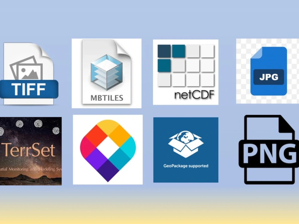
• 🔹 Raster Data Georeferencing: Precise conversion of raster imagery—including JPG, PNG, TIFF, and MBTiles—into fully georeferenced raster files compatible with major GIS platforms.
Whether you're working on environmental analysis, urban planning, or remote sensing projects, I ensure that your spatial data is clean, correctly formatted, and ready for advanced GIS applications.
Let me help you streamline your geospatial workflows with precision and professionalism.
With over a decade of hands-on experience in geospatial data processing, I specialize in delivering highly accurate and reliable GIS data conversions across a wide range of formats. My services include:
• 🔹 Vector Data Conversion: Seamless transformation of data from CSV, Excel, MBTiles, GeoJSON, and KML into industry-standard Shapefile format, ensuring spatial integrity and attribute consistency.
• 🔹 Raster Data Georeferencing: Precise conversion of raster imagery—including JPG, PNG, TIFF, and MBTiles—into fully georeferenced raster files compatible with major GIS platforms.
Whether you're working on environmental analysis, urban planning, or remote sensing projects, I ensure that your spatial data is clean, correctly formatted, and ready for advanced GIS applications.
Let me help you streamline your geospatial workflows with precision and professionalism.
Database Type
MySQL, MS SQL, SQLite, PostgreSQLWhat's included
| Service Tiers |
Starter
$5
|
Standard
$10
|
Advanced
$20
|
|---|---|---|---|
| Delivery Time | 1 day | 1 day | 2 days |
Number of Revisions | 1 | 1 | 2 |
Source Code | - | - | - |
Optional add-ons
You can add these on the next page.
Fast Delivery
+$5
50 reviews
(43)
(5)
(1)
(1)
(0)
This project doesn't have any reviews.
DS
Dor S.
Apr 28, 2026
Aerial Image Annotator – Pavement Distress Labeling
Ishan worked well on the project over the timel.
MD
Matt D.
May 4, 2024
Satellite imagery of foliage
AF
Alexandru Costel F.
May 4, 2024
Needing entry level GIS freelancers to digitize a large map
Ishan did a great job of digitizing the data that we needed.
DG
Daniel G.
May 2, 2024
Map customers
SS
Sumul S.
Jan 18, 2024
ArcGIS Lidar Data Processing
About Ishan
GIS & ML Expert | Land-Use & Env. Analysis
Ahmedabad, India - 4:40 pm local time
I specialize in end-to-end geospatial workflows — from raw satellite imagery and drone data through to automated analysis, interactive web maps, and executive-ready reports. My stack includes ArcGIS, QGIS, Google Earth Engine, Python, AWS, OpenLayers, GeoServer, and PostgreSQL. I'm particularly strong in QGIS automation and AI-based image segmentation for large-scale datasets.
I've led multinational GIS initiatives for organizations including Earthtree/Earthbanc (agroforestry MRV workflows) and Digifarm (agricultural field delineation across 16+ countries). My project portfolio spans flood risk modeling, biodiversity mapping, carbon accounting, and urban planning — with clients in Canada, Germany, Australia, the UK, and the USA. I hold an M.Sc. in Geomatics from CEPT University and a B.Tech in Agricultural Engineering.
Key offerings:
- GIS automation — cut manual processing time 60%+ with QGIS & Python scripting
- Spatial data management and land-use classification — high-accuracy land cover maps from satellite or drone imagery
- Drone data workflows and image processing — end-to-end from raw flight data to classified outputs
- Interactive web GIS development — OpenLayers, GeoServer & PostgreSQL
- MRV workflows for carbon modeling and agroforestry projects
- Flood risk, biodiversity, and urban planning assessments
- Technical documentation and reporting
Send me a message with your project scope and I'll respond within 24 hours with a clear plan and timeline.
Steps for completing your project
After purchasing the project, send requirements so Ishan can start the project.
Delivery time starts when Ishan receives requirements from you.
Ishan works on your project following the steps below.
Revisions may occur after the delivery date.
Converted GIS Vector and Raster data
Converted GIS Vector and Raster data