You will get I will build a 3D or geospatial web app with my team
Rising Talent
Rising Talent
Project details
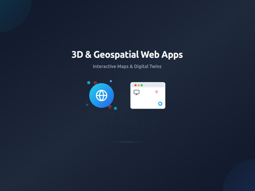
Looking to create a 3D or geospatial experience in the browser? I lead a team specializing in Three.js, MapLibre, Mapbox, and QGIS — ideal for digital twins, event maps, real estate tools, and indoor/outdoor navigation platforms.
This service includes:
• Requirement gathering & wireframes
• 3D/geospatial UI planning
• Front-end development (React + Three.js/MapLibre)
• Optional: back-end integration, APIs, admin tools
• Project management & testing
We’ve delivered digital twins for large events like LIMA 2025 and AWS Summit Singapore — let’s bring your idea to life.
Programming Languages
JavaScript, TypeScriptCoding Expertise
Cross Browser & Device Compatibility, Performance Optimization, SecurityWhat's included
| Service Tiers |
Starter
$1,200
|
Standard
$2,500
|
Advanced
$4,500
|
|---|---|---|---|
| Delivery Time | 10 days | 21 days | 35 days |
Number of Revisions | 1 | 3 | Unlimited |
Design Customization | - | - | |
Content Upload | - | - | - |
Responsive Design | - | - | |
Source Code | - | - |
About Muhammad Ahmad
Spatial Front-End Developer | Three.js, MapLibre, React | Digital Twin
Lahore, Pakistan - 7:09 pm local time
As a developer turned project manager, I work closely with startups and technical teams to deliver fast, iterative results. Whether it’s a digital twin, a spatial dashboard, or an interactive 3D interface, I can take your idea from wireframe to working demo — or to a full-scale application — and rally a team around it when needed.
✅ What I Can Help You Build:
📍 Digital Twins for Real-World Spaces
From exhibition venues and airports to event floorplans — I build browser-based digital replicas that help users explore and interact with physical environments online.
🌍 Geospatial & Map-Based Interfaces
Custom mapping solutions using MapLibre and Mapbox — ideal for indoor navigation, smart maps, and spatial analytics.
🧱 3D UI Prototypes & Visualizations
Web-based 3D scenes and interfaces built with Three.js and R3F — perfect for concept validation, product demos, and immersive user experiences.
🧭 Interactive Dashboards & MVPs
Rapid prototypes and production-ready dashboards using React, Next.js, and modern UI systems — built for speed, feedback, and iteration.
🧰 Tech I Use Regularly:
- 3D & Visualization: Three.js • R3F • WebGL
- Mapping & Spatial: MapLibre • Mapbox • QGIS
- Web & UI: React • Next.js • Vue • Tailwind • Framer Motion
- Cloud & DB: Supabase • Firebase • PostgreSQL
- Tools: Asana • GitHub • Figma
🚀 Who I Work Best With:
- Startups building MVPs with spatial or 3D interaction
- Product teams creating interactive digital twins
- Projects needing structure, iteration, and fast prototyping
Let’s build something smart, spatial, and scalable.
Steps for completing your project
After purchasing the project, send requirements so Muhammad Ahmad can start the project.
Delivery time starts when Muhammad Ahmad receives requirements from you.
Muhammad Ahmad works on your project following the steps below.
Revisions may occur after the delivery date.
Client shares app idea and data/assets
You send details about your app's purpose, map files, reference visuals, and preferred features.
Kickoff meeting and scope finalization
We have a call to confirm goals, clarify expectations, and define project phases.