You will get I will create professional GIS map layouts using QGIS or ArcGIS
Project details
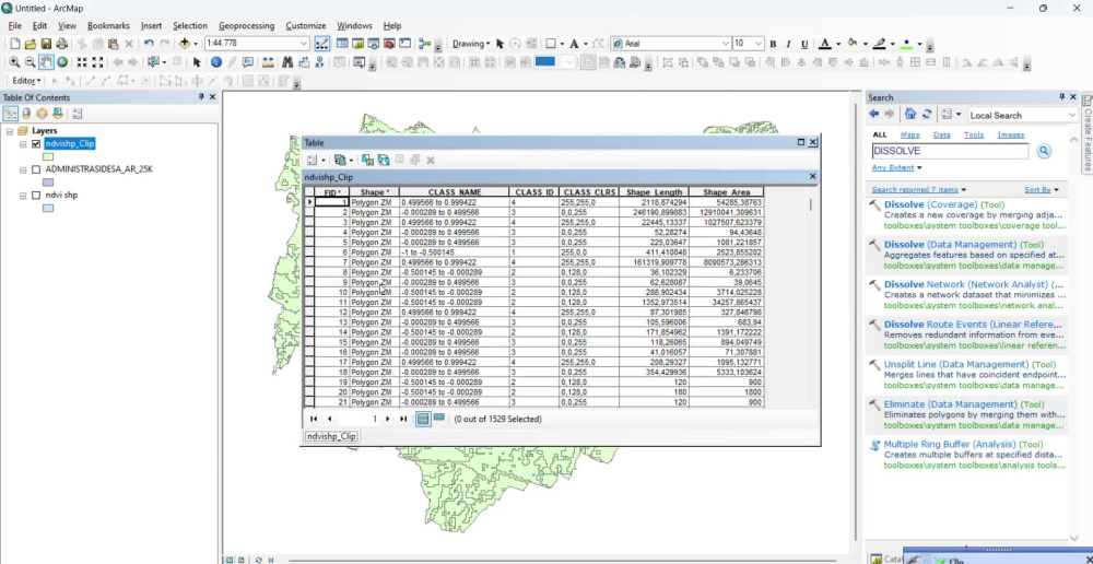
I will create professional GIS map layouts and spatial visualizations using QGIS or ArcGIS for academic, environmental, and geospatial projects. Services include thematic mapping, digitizing, georeferencing, NDVI and LST visualization, spatial data processing, and cartographic design.
You will receive clean and high-quality map outputs with essential cartographic elements such as legends, scale bars, north arrows, coordinates, and organized layouts. I focus on accurate spatial presentation, clear communication, and timely delivery to ensure the project meets your requirements.
The final files can be provided in PNG, PDF, SHP, QGIS, or ArcGIS formats based on your needs.
Programming Languages
Python, ScalaCoding Expertise
Cross Browser & Device Compatibility, DesignWhat's included
| Service Tiers |
Starter
$5
|
Standard
$10
|
Advanced
$20
|
|---|---|---|---|
| Delivery Time | 2 days | 3 days | 5 days |
Number of Revisions | 1 | 2 | 5 |
Number of Pages | 1 | 2 | 3 |
Design Customization | |||
Content Upload | |||
Responsive Design | - | - | - |
Source Code |
Optional add-ons
You can add these on the next page.
Fast Delivery
+$3
Additional Revision
+$3
Additional Page
(+ 1 Day)
+$5Frequently asked questions
About Naura
Remote Sensing & Spatial Data Specialist
Tegal, Indonesia - 2:57 am local time
I can assist with:
• GIS mapping and spatial analysis
• Digitizing and georeferencing maps
• Land use and environmental mapping
• Shapefile and spatial data management
• Google Earth and Excel data processing
• Map layout and cartographic design
I focus on delivering accurate, organized, and high-quality work with attention to detail and fast communication.
Steps for completing your project
After purchasing the project, send requirements so Naura can start the project.
Delivery time starts when Naura receives requirements from you.
Naura works on your project following the steps below.
Revisions may occur after the delivery date.
Project Data Review
Review the client’s spatial data, project requirements, coordinate system, and expected map output before starting the GIS processing and layout work.
GIS Processing & Mapping
Process spatial data, perform mapping or analysis, and create a professional GIS map layout using QGIS or ArcGIS based on the project requirements.