You will get interactive GIS web maps and spatial web applications
Project details
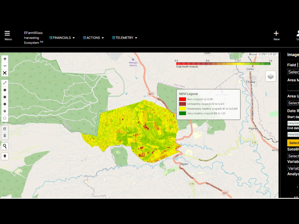
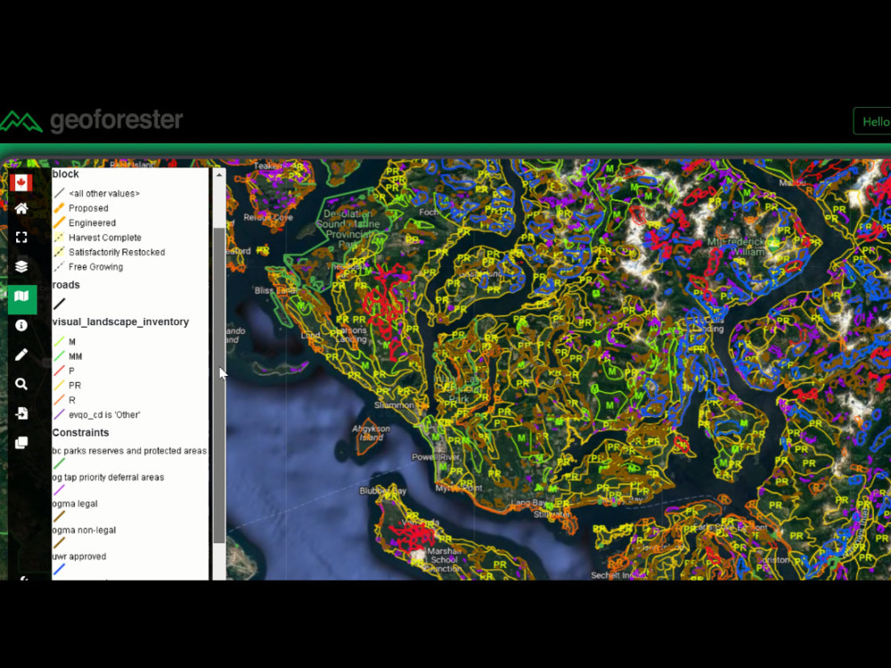
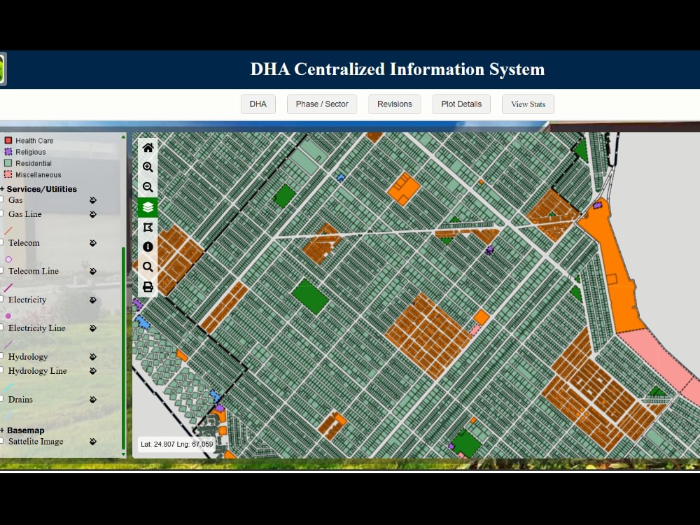
Need an expert GeoInformatics Engineer to build powerful Web GIS applications, interactive maps, or robust spatial databases?
I'm a professional GeoInformatics graduate with 7 years of experience specializing in GIS programming, spatial data analysis, and full-stack Web GIS development.Whether you need a dynamic dashboard, a custom QGIS plugin,or an enterprise PostGIS setup, I deliver scalable solutions.
Core Services:
WebGIS Apps: Full-stack builds using Django/GeoDjango, Node.js, & React.
Interactive Maps: Custom responsive mapping via Leaflet, Mapbox, & Folium.
3DGIS Visualization: Immersive spatial solutions using Cesium & Three.js.
Spatial Databases: Advanced queries & management using PostGIS & PostgreSQL.
Automation & Plugins: Custom QGIS plugin development & Python GIS programming.
Data Science: Processing spatial data using GeoPandas, Rasterio, & Sklearn.
️Tech Stack:
Python, JavaScript, React, Django, GeoServer, Leaflet, Mapbox, ArcGIS, QGIS, PostGIS.
Why Me?
7+ years of engineering experience delivering clean, scalable code from database architecture to front-end UI design.
️ NOTE: Please message me BEFORE placing an order to discuss your data files & project.
I'm a professional GeoInformatics graduate with 7 years of experience specializing in GIS programming, spatial data analysis, and full-stack Web GIS development.Whether you need a dynamic dashboard, a custom QGIS plugin,or an enterprise PostGIS setup, I deliver scalable solutions.
Core Services:
WebGIS Apps: Full-stack builds using Django/GeoDjango, Node.js, & React.
Interactive Maps: Custom responsive mapping via Leaflet, Mapbox, & Folium.
3DGIS Visualization: Immersive spatial solutions using Cesium & Three.js.
Spatial Databases: Advanced queries & management using PostGIS & PostgreSQL.
Automation & Plugins: Custom QGIS plugin development & Python GIS programming.
Data Science: Processing spatial data using GeoPandas, Rasterio, & Sklearn.
️Tech Stack:
Python, JavaScript, React, Django, GeoServer, Leaflet, Mapbox, ArcGIS, QGIS, PostGIS.
Why Me?
7+ years of engineering experience delivering clean, scalable code from database architecture to front-end UI design.
️ NOTE: Please message me BEFORE placing an order to discuss your data files & project.
Programming Languages
JavaScript, PythonCoding Expertise
Performance Optimization, Security, DesignWhat's included
| Service Tiers |
Starter
$105
|
Standard
$310
|
Advanced
$1,250
|
|---|---|---|---|
| Delivery Time | 3 days | 7 days | 14 days |
Number of Revisions | 1 | 2 | 5 |
Number of Pages | 1 | 3 | 5 |
Design Customization | |||
Content Upload | - | - | - |
Responsive Design | |||
Source Code | - | - | - |
Frequently asked questions
About Rabia
GeoInformatics Engineer| WEBGIS Developer| Data Analyst
Hyderabad, Pakistan - 1:49 pm local time
My skill set covers both GIS analysis and development, with a primary focus on development, including creating interactive web applications, integrating mapping functionalities, and optimizing spatial databases using PostGIS. I am proficient in tools like ArcGIS and QGIS for spatial analysis, cartography, and data processing, ensuring accurate and high-quality results.
I also bring experience in Python-based geospatial processing (GeoPandas, NumPy), as well as front-end mapping libraries and data visualization techniques. Additionally, I have worked with drone data processing and 3D GIS using Cesium and Three.js to build advanced spatial solutions.
I am a fast learner who enjoys working on innovative projects and delivering practical, efficient, and scalable GIS solutions tailored to client needs.
Steps for completing your project
After purchasing the project, send requirements so Rabia can start the project.
Delivery time starts when Rabia receives requirements from you.
Rabia works on your project following the steps below.
Revisions may occur after the delivery date.
Client sends a message with project details before purchasing
Please message me first with your requirements (goals, references, deadline, and any files) so I can confirm scope and timeline before you place the order. This helps avoid delays or revision requests later.
Client purchases the project and sends final requirements/files.