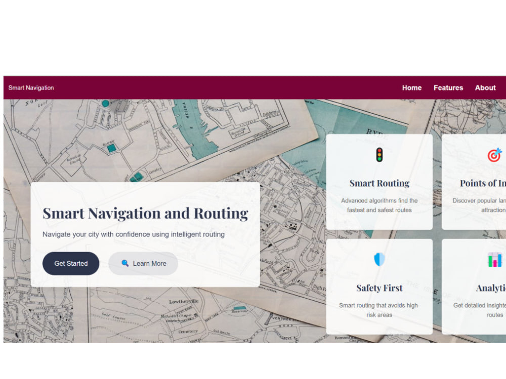
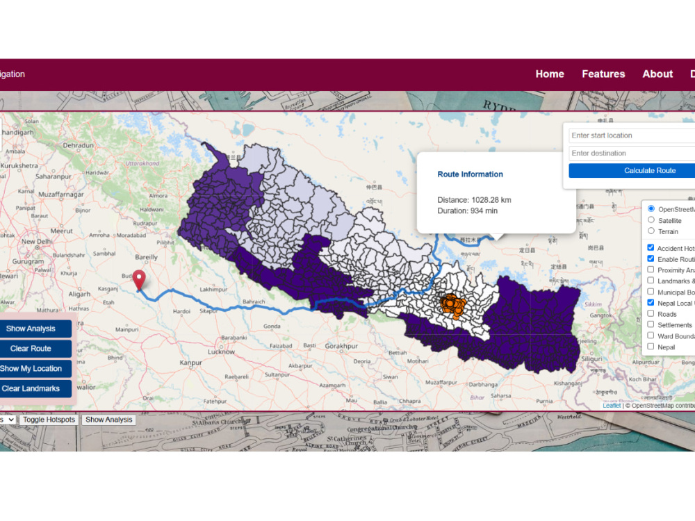
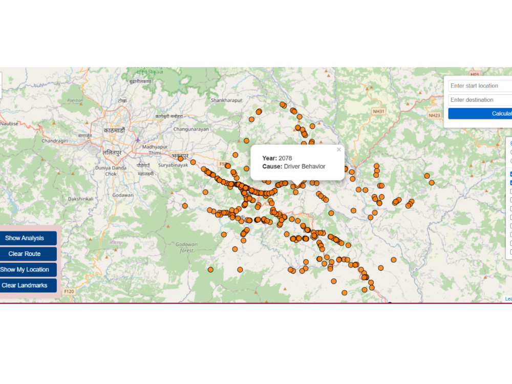
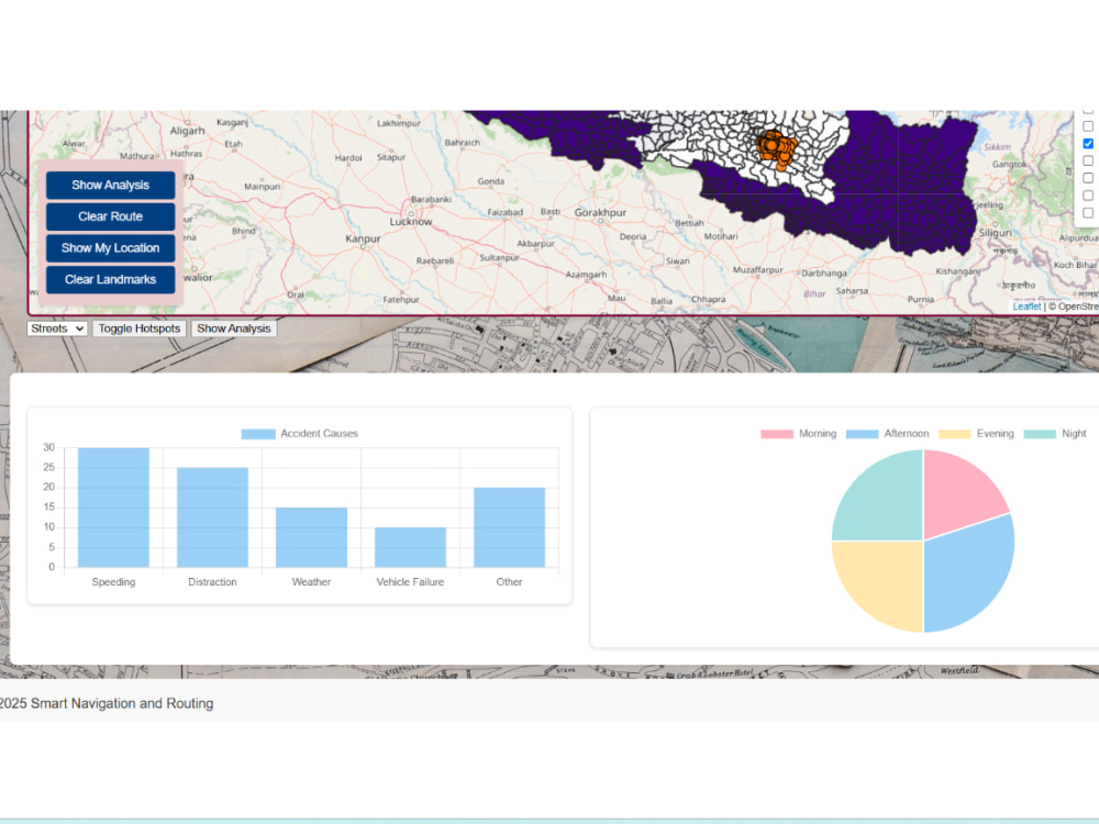
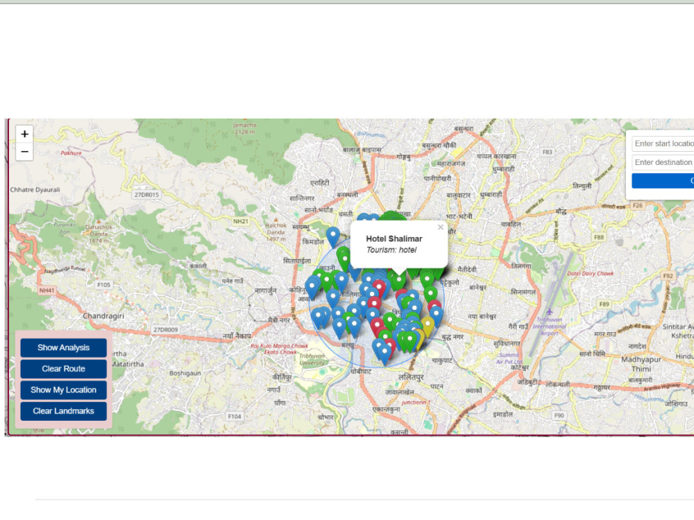
You will get Interactive maps with smart routing and real-time spatial data display.

Project details
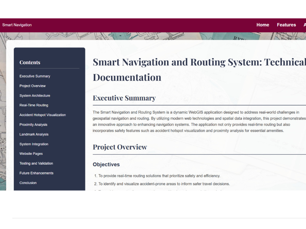
You will get a fully functional, interactive WebGIS platform tailored to your spatial data and user needs. With a background in Geomatics Engineering and experience in smart routing, remote sensing, and OSM-based mapping, I specialize in building intuitive web maps that combine functionality with spatial intelligence. From base maps to proximity analysis and routing APIs, I handle everything: frontend, backend, and data integration. I’ve built platforms that enhance accessibility, urban planning, and decision-making. The work I deliver is optimized, user-friendly, mobile responsive, and backed by real geospatial logic, not just visual flair.
Programming Languages
HTML & CSS, JavaScript, PythonCoding Expertise
Cross Browser & Device Compatibility, Performance Optimization, SecurityWhat's included
| Service Tiers |
Starter
$30
|
Standard
$75
|
Advanced
$150
|
|---|---|---|---|
| Delivery Time | 3 days | 5 days | 8 days |
Number of Revisions | 1 | 2 | 3 |
Number of Pages | 1 | 2 | 5 |
Design Customization | |||
Content Upload | |||
Responsive Design | - | ||
Source Code | - | - |
Frequently asked questions
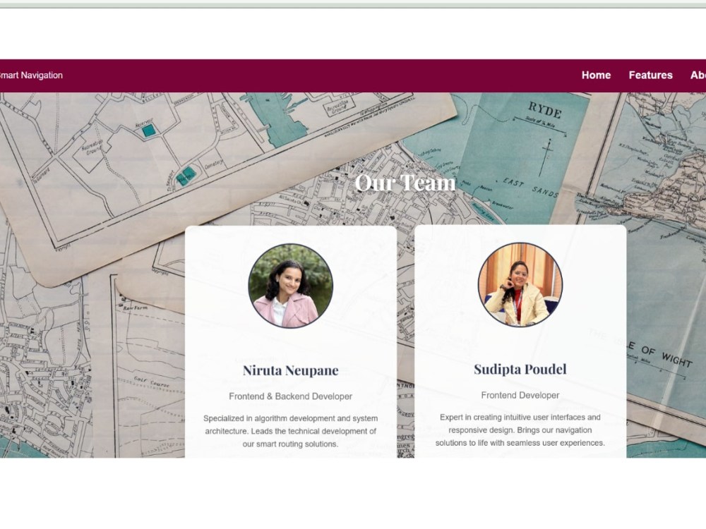
About Niruta
GIS Analyst
Tanahun, Nepal - 11:16 am local time
✅Skills & Tools
Desktop GIS: ArcGIS, ArcGIS Pro, QGIS – Expert in spatial analysis, mapping, and cartography.
WebGIS & Programming: Python, JavaScript; interactive web mapping with Leaflet, Mapbox, and GitHub Pages (e.g. routing and navigation apps).
Remote Sensing & LiDAR: Google Earth Engine (Sentinel-2 NDVI, pollution analysis); LiDAR360 (carbon stock estimation).
Field Data Collection: Experience with FMTM and Topcon survey systems for accurate geospatial data acquisition.
OpenStreetMap & Community Training: Active OSM contributor and trainer, recognized by fellowships and grants for open mapping and geospatial empowerment.
I pride myself on clear communication, dependable delivery, and a collaborative mindset. I’m comfortable working remotely and adapt easily to project needs, providing regular progress updates. Let’s connect to discuss your GIS and mapping challenges. I look forward to the opportunity to help transform your spatial data into actionable solutions.
Steps for completing your project
After purchasing the project, send requirements so Niruta can start the project.
Delivery time starts when Niruta receives requirements from you.
Niruta works on your project following the steps below.
Revisions may occur after the delivery date.
Project Understanding & Data Review
Review project goals, target users, and all provided spatial data or references to ensure clarity before development begins.
Map Setup & Base Integration
Create the base map using Leaflet or Mapbox and load initial layers (e.g., OSM, GeoJSON).