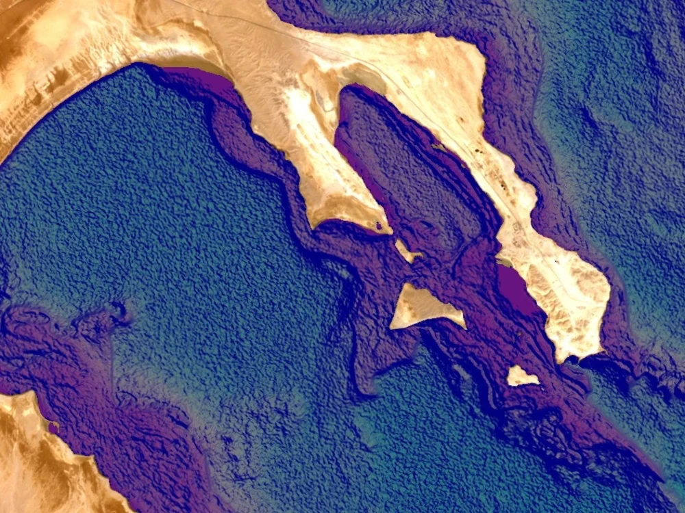
You will get Ocean depth, Shallow water depth using Remote Sensing

Project details
Artificial Intelligence (Automated Processing) Detecting Ocean depth using Remote Sensing Technology. using scenes with RGB and NIR bands combinations
What's included $500
These options are included with the project scope.
$500
- Delivery Time 7 days
- Number of Revisions 2
- Number of Model Variations 2
- Number of Scenarios 1
- Number of Graphs/Charts 1
- Model Validation/Testing
Frequently asked questions
7 reviews
(7)
(0)
(0)
(0)
(0)
This project doesn't have any reviews.
MV
Maro V.
Jan 6, 2025
Automated Conversion of PDF Drawings to AutoCAD
MV
Maro V.
Oct 27, 2024
Conversion from pdf to dwg
AW
Amindika W.
Mar 24, 2021
R or GIS expert to extract information using GPS points from Raster images
Working with Mr Shiva was a good luck for me. Talented and skilled freelancer. good communication
DM
Dan M.
Mar 10, 2021
Time zone polygons needed - GIS
Good results all the way around. Hopefully I will find more work for Shiva to do!
DM
David M.
Mar 9, 2021
Cartographer needed to edit a map file
Was great working with Shiva - we needed a map splitting into vectors and then editing. He managed to do it quickly and efficiently. Would definitely work with him again on future projects.
About Shiva
CAD-GIS-Remote Sensing-Satellite & Google Map - Illustrator
100%
Job Success
Bengaluru, India - 4:13 am local time
CAD Drawing Conversion
Scans to DWG and Shape files
Seismic Image to SEGY
Parcel Mapping
TopoMaps
Geological Maps
Nautical Charts
Log Digitizing
Contour Maps
Magnetic Contours
Soil Maps
Creation of Digital Elevation Model using Contours
ETM / Aster Image Processing
Steps for completing your project
After purchasing the project, send requirements so Shiva can start the project.
Delivery time starts when Shiva receives requirements from you.
Shiva works on your project following the steps below.
Revisions may occur after the delivery date.
Imagery
Selecting the suitable Imagery with Cloud free and Clear water scenes and process it using In-house developed scrips and get the output results