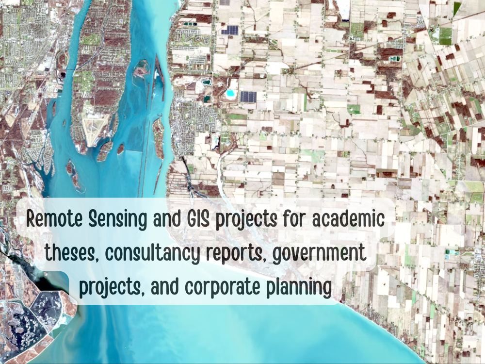
You will get remote sensing and gis based analysis for both academic and business
Project details
Hi, I'm Nihar
Welcome! I offer professional GIS and Remote Sensing solutions tailored to your mining, environmental, hydrogeological, and engineering needs.
Mining Services (Pre & Post):
Mineral mapping & alteration zone detection (Multispectral)
Fault analysis for oil & gas
Land cover change, water/air pollution monitoring
Vegetation damage & slope stability mapping
Reclamation tracking, tailings site analysis
Mineral transport GIS tracking
EIA mapping & reporting
Environmental Monitoring:
Soil erosion, degradation, and water pollution analysis
Natural hazard mapping (floods, landslides, etc.)
Climate change effects: glacier retreat, sea level rise
Coastal/marine ecosystem analysis
Engineering & Geology:
Site-suitability, slope stability, foundation support
River & landform analysis, groundwater mapping
Watershed & aquifer contamination studies
️ Other Services:
Georeferencing, digitization, image classification
Lidar point cloud classification, DSM/DTM/DEM generation, Photogrammetry, Google Earth Engine and Python (Arcpy, Qpy) scripts for automation etc.
Welcome! I offer professional GIS and Remote Sensing solutions tailored to your mining, environmental, hydrogeological, and engineering needs.
Mining Services (Pre & Post):
Mineral mapping & alteration zone detection (Multispectral)
Fault analysis for oil & gas
Land cover change, water/air pollution monitoring
Vegetation damage & slope stability mapping
Reclamation tracking, tailings site analysis
Mineral transport GIS tracking
EIA mapping & reporting
Environmental Monitoring:
Soil erosion, degradation, and water pollution analysis
Natural hazard mapping (floods, landslides, etc.)
Climate change effects: glacier retreat, sea level rise
Coastal/marine ecosystem analysis
Engineering & Geology:
Site-suitability, slope stability, foundation support
River & landform analysis, groundwater mapping
Watershed & aquifer contamination studies
️ Other Services:
Georeferencing, digitization, image classification
Lidar point cloud classification, DSM/DTM/DEM generation, Photogrammetry, Google Earth Engine and Python (Arcpy, Qpy) scripts for automation etc.
What's included
| Service Tiers |
Starter
$10
|
Standard
$50
|
Advanced
$100
|
|---|---|---|---|
| Delivery Time | 2 days | 7 days | 14 days |
Number of Revisions | 2 | 2 | 2 |
Model Validation/Testing | - | - | - |
Model Documentation | - | - | - |
Data Source Connectivity | - | - | - |
Source Code | - | - | - |
Optional add-ons
You can add these on the next page.
Fast Delivery
+$5 - $50Frequently asked questions
1 review
(1)
(0)
(0)
(0)
(0)
This project doesn't have any reviews.
MK
Mark K.
Jul 5, 2025
PowerPoint Presentation Modeling and Representation of Earth System Dynamics
I had the pleasure of working with Nihar on a presentation about Modeling and Representation of Earth System Dynamics, and I must say his work was outstanding. He delivered the presentation with clarity, depth, and a strong understanding of the subject matter. The structure was well-organized, the visuals were engaging, and the content was both informative and insightful. It was clear that he put great effort and thought into every detail. I truly appreciated his professionalism, communication, and commitment to excellence. I’m very pleased with the result and would gladly work with him again in the future. Highly recommended!
About Nihar Ranjan
Remote Sensing and GIS Specialist
Bhubaneswar, India - 12:25 pm local time
My Expertise:
- Geological Mapping: I specialize in creating accurate geological maps that provide valuable insights for various industries, including mining, construction, and environmental planning.
- Hydrogeological Analysis: My in-depth knowledge of hydrogeology allows me to assess groundwater resources and contamination risks, ensuring sustainable water management.
- Environmental Analysis: I excel in analyzing environmental data to support decision-making processes related to conservation, land use, mining dump site and environmental impact assessments.
- Lidar Point Cloud Classification: I have a proven track record in processing and classifying Lidar point cloud data for applications such as terrain modeling and 3D landscape visualization.
- Python Programming: My proficiency in Python enables me to develop custom geospatial solutions, automate data analysis tasks, and enhance the efficiency of geoinformatics workflows.
Why Choose Me:
- Quality Results: I am dedicated to delivering high-quality work that meets or exceeds client expectations. Accuracy and attention to detail are my top priorities.
- Timely Delivery: I understand the importance of deadlines and strive to complete projects on time, ensuring your projects stay on schedule.
- Effective Communication: Clear and open communication is key to successful collaborations. I am always available to discuss project details and provide updates.
- Client Satisfaction: My ultimate goal is client satisfaction. I take pride in building long-lasting relationships based on trust and reliability.
Let's Work Together:
Whether you need a geological map, hydrogeological analysis, environmental insights, Lidar point cloud processing, or customized geospatial solutions, I am here to help. Let's collaborate to turn your geospatial challenges into opportunities for success.
Feel free to reach out to discuss your project requirements, and I look forward to contributing to your geospatial and geological endeavors.
---
Steps for completing your project
After purchasing the project, send requirements so Nihar Ranjan can start the project.
Delivery time starts when Nihar Ranjan receives requirements from you.
Nihar Ranjan works on your project following the steps below.
Revisions may occur after the delivery date.
Proper research and then deliverables