You will get Satellite Imagery + Radiometric/Atmospheric Corrections + Alteration Zones
Project details
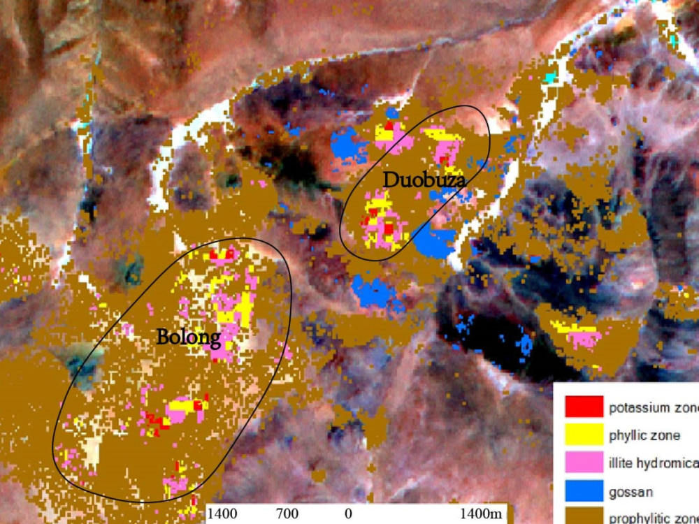
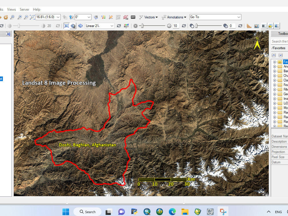
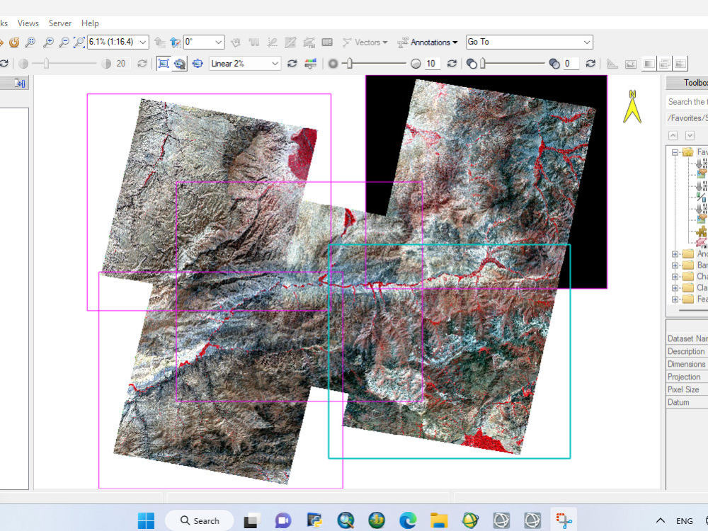
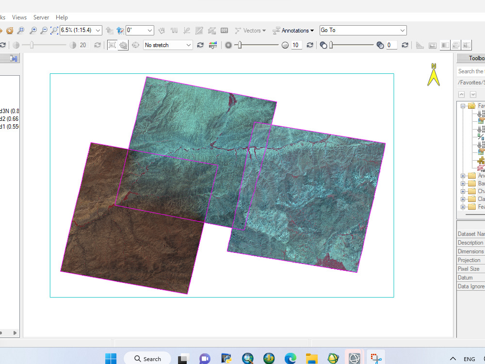
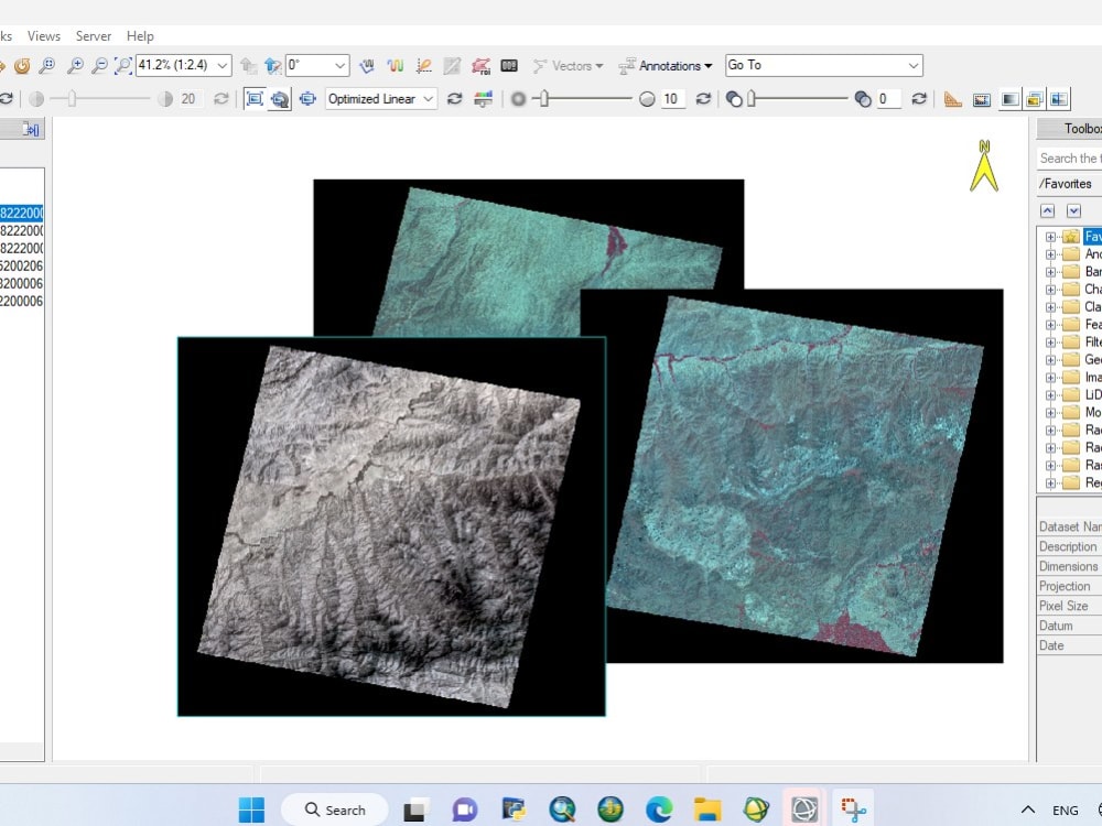
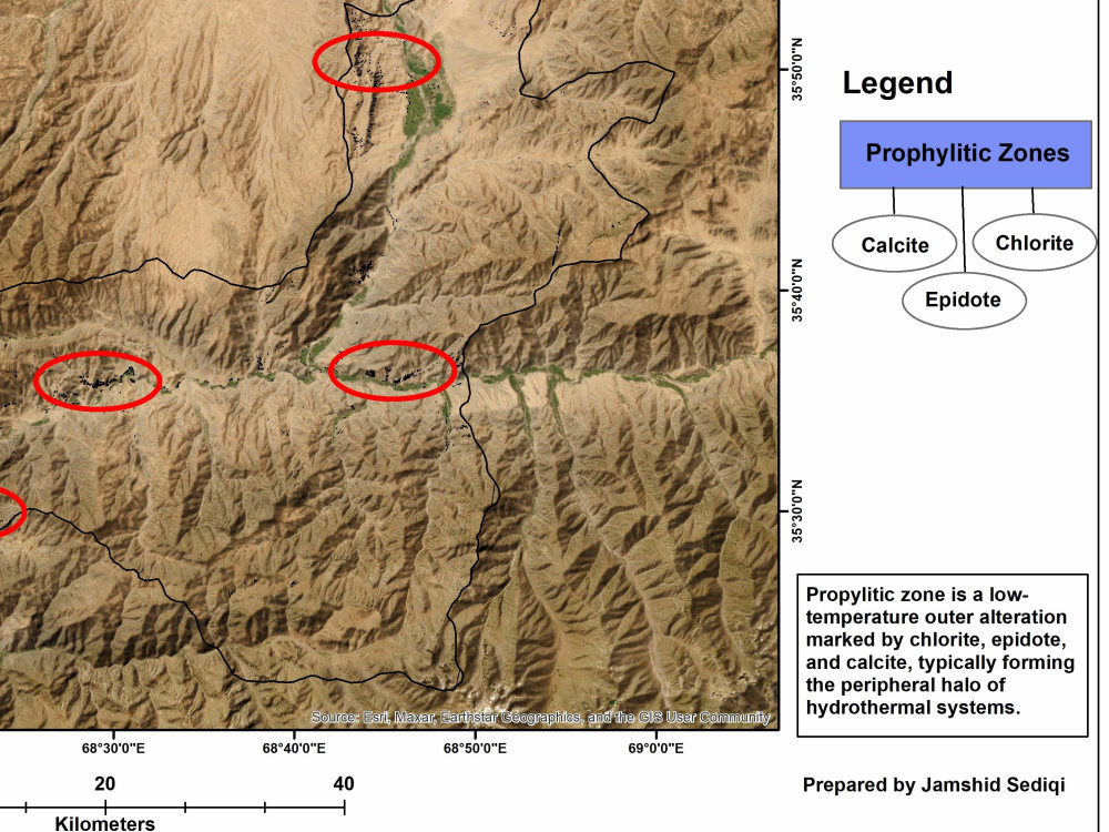
I will download high-quality satellite imagery for your area of interest and apply professional preprocessing, including radiometric, atmospheric, and geometric corrections. If required, I also perform advanced spectral analysis to generate alteration zone maps for geological and mineral exploration.
You will receive clean, corrected, and fully georeferenced data that is ready for GIS, remote sensing, and scientific analysis.
You will receive clean, corrected, and fully georeferenced data that is ready for GIS, remote sensing, and scientific analysis.
What's included
| Service Tiers |
Starter
$12
|
Standard
$25
|
Advanced
$90
|
|---|---|---|---|
| Delivery Time | 1 day | 2 days | 5 days |
Number of Revisions | 1 | 2 | Unlimited |
Frequently asked questions
About Jamshid
GIS & Remote Sensing Analyst | Spatial Data Analysis & Mapping Expert
Oshawa, Canada - 8:36 pm local time
I help clients turn raw geographic data into clear, useful insights for decision-making.
What I can help you with:
GIS mapping and spatial analysis
Remote sensing & satellite image interpretation
Data visualization (maps, layers, geospatial insights)
Data entry and cleaning (GIS-related datasets)
Converting geographic data into reports and visuals
Tools I work with:
ArcGIS / QGIS / ENVI / Rockworks
Google Earth Engine
Remote sensing tools
Excel / data processing tools
I focus on delivering accurate, high-quality work with clear communication and on-time delivery.
If you’re looking for reliable GIS support, feel free to message me.
Steps for completing your project
After purchasing the project, send requirements so Jamshid can start the project.
Delivery time starts when Jamshid receives requirements from you.
Jamshid works on your project following the steps below.
Revisions may occur after the delivery date.
Provide Project Details
You share your AOI, the year/date of imagery, and any specific requirements.
Download Best Satellite Imagery
I select and download the most suitable satellite data (ASTER, Landsat, Sentinel-2).