You will get Street Scanner - 360 Degree Photo Collecting - Checking All Streets
Project details
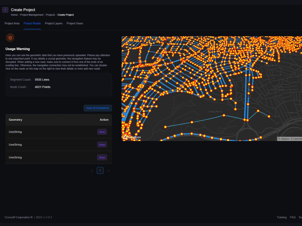
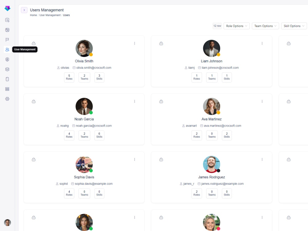
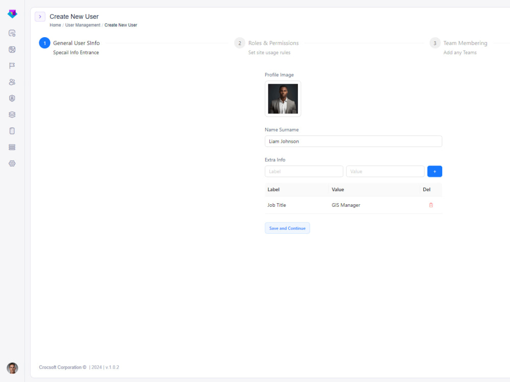
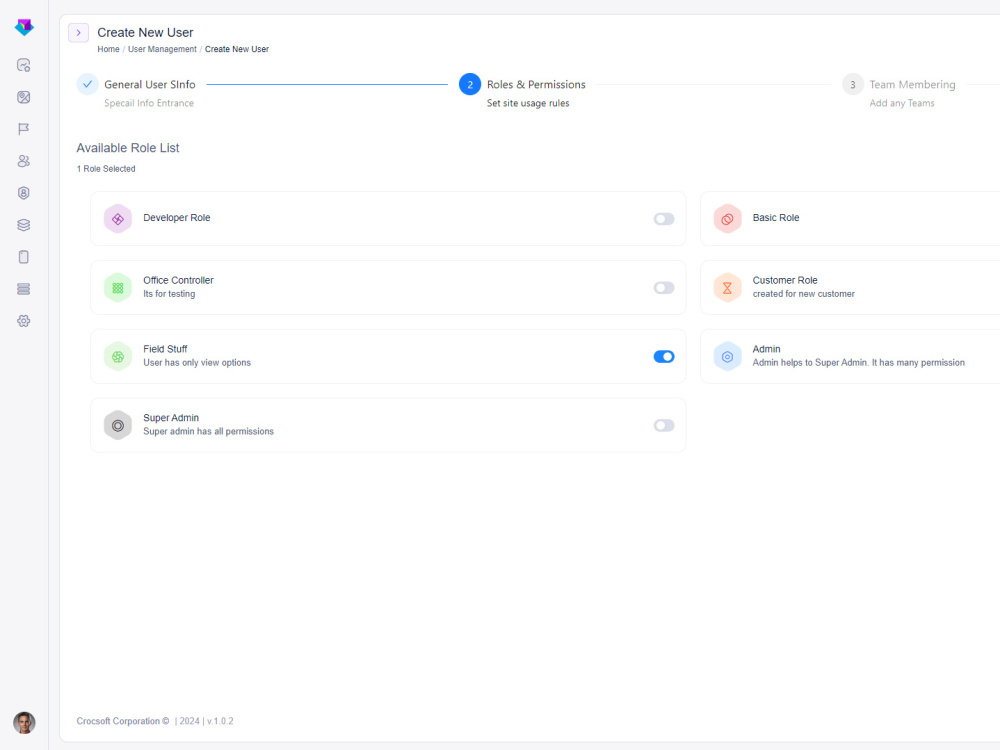
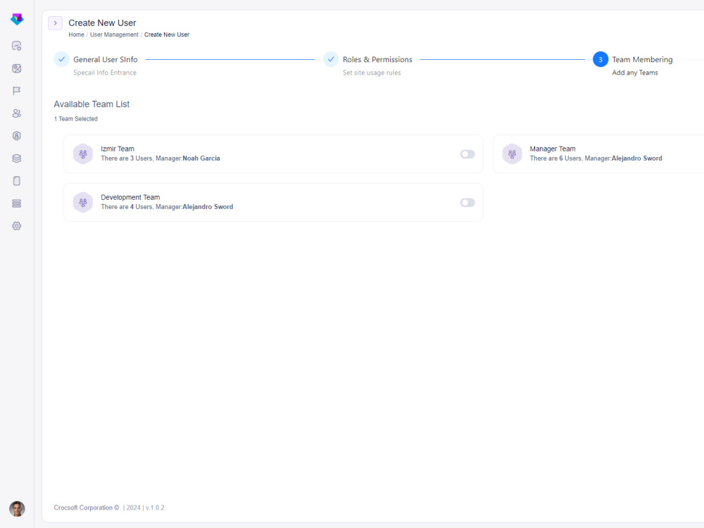
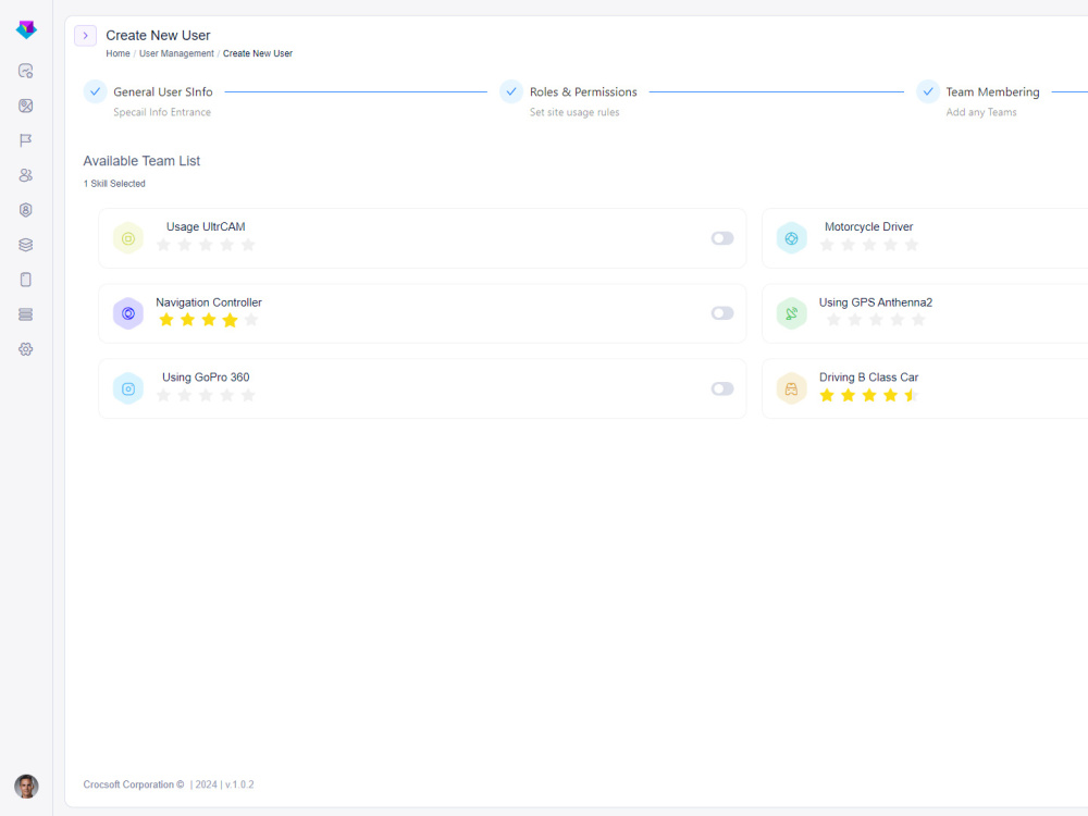
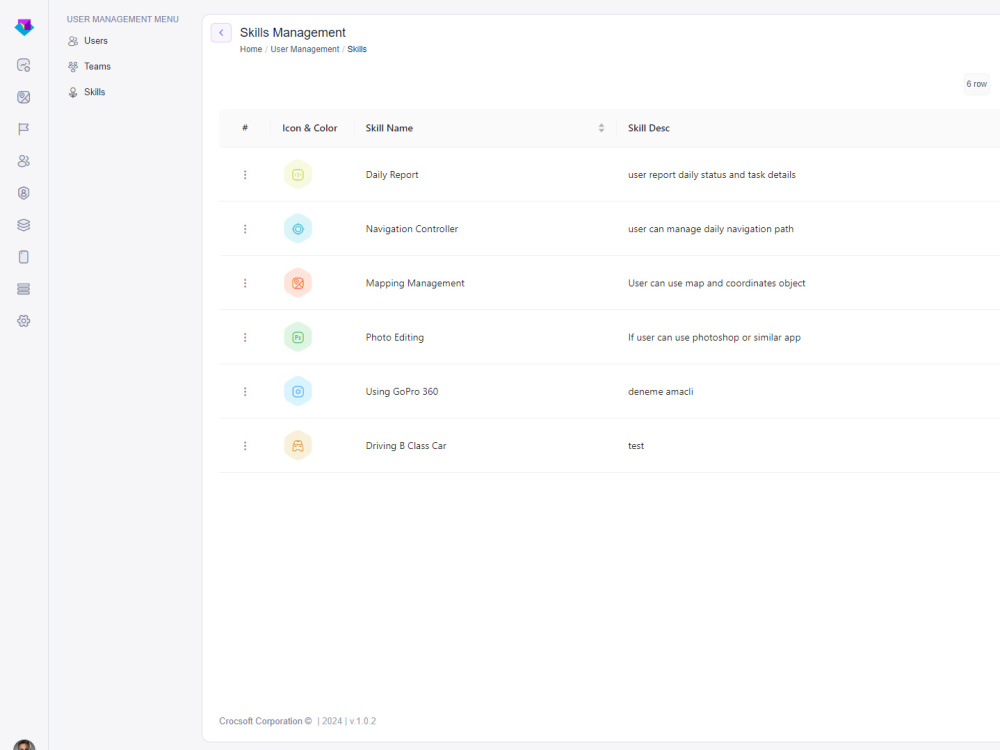
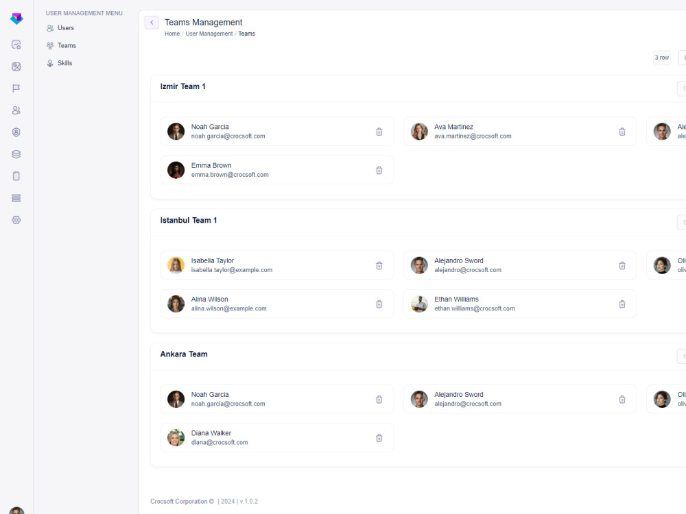
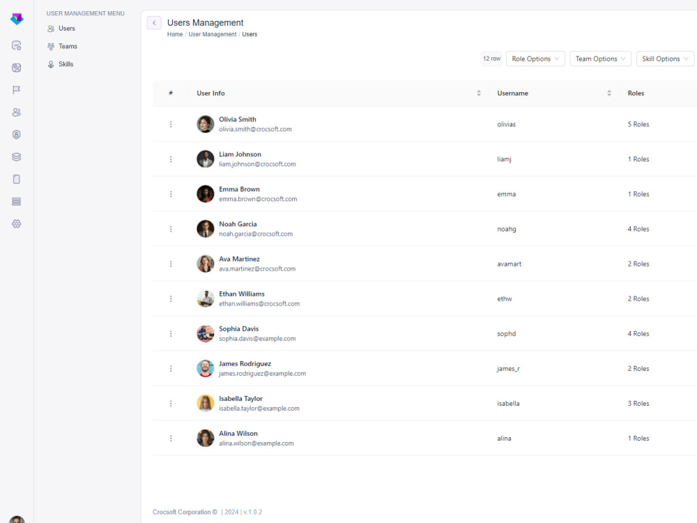
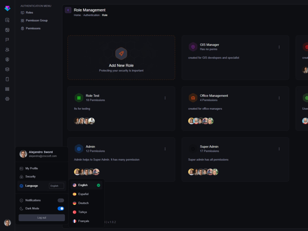
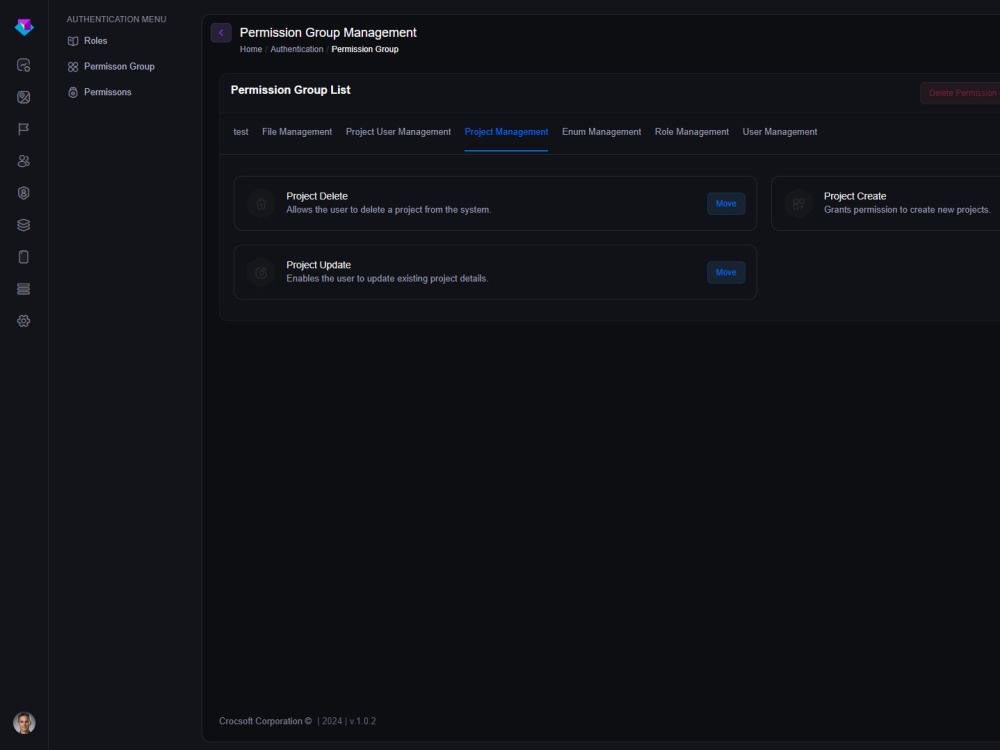
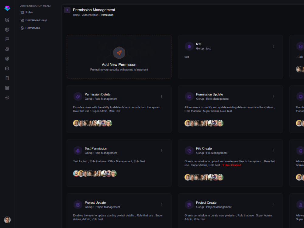
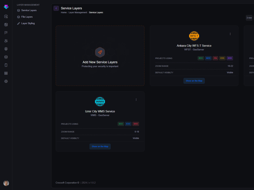
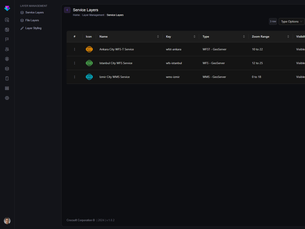
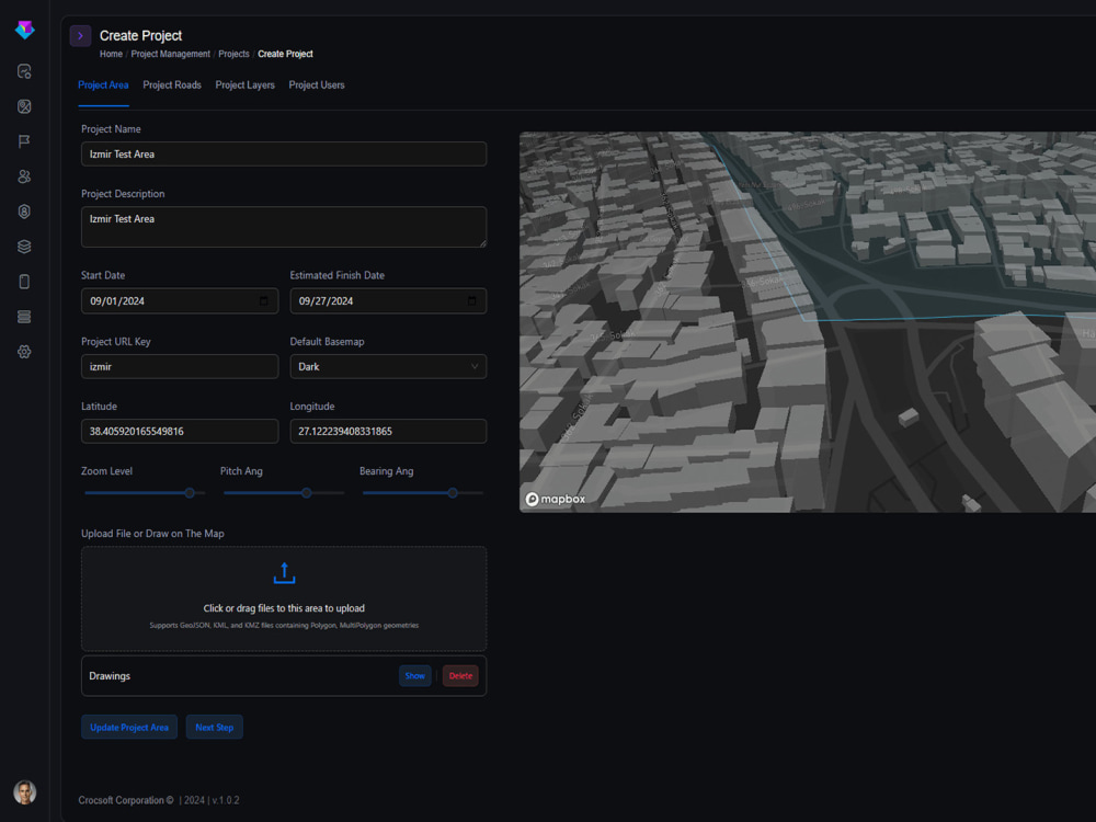
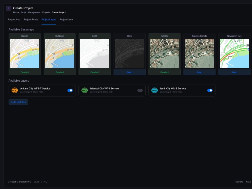
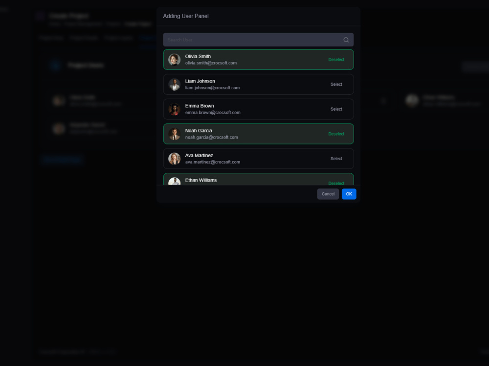
Street Scanner Software is an advanced tool built for street-level photography, infrastructure inspection, and route optimization. It allows users to efficiently manage street inspections, track progress in real-time, and allocate resources based on detailed project data. The software is particularly useful in projects where accurate detection of illegal gas or water lines, efficient route management, and collaborative task tracking are required.
The software is highly adaptable, supporting a wide range of use cases from street-level data collection to large-scale project management, offering real-time collaboration and comprehensive reporting functionalities.
The software is highly adaptable, supporting a wide range of use cases from street-level data collection to large-scale project management, offering real-time collaboration and comprehensive reporting functionalities.
Data Tool
PythonWhat's included
| Service Tiers |
Starter
$5,000
|
Standard
$25,000
|
Advanced
$50,000
|
|---|---|---|---|
| Delivery Time | 10 days | 10 days | 1 day |
Number of Revisions | 5 | 5 | 5 |
Number of Pages Mined/Scraped | 62 | 62 | 62 |
Number of Sources Mined/Scraped | 1989 | 1989 | 1989 |
1 review
(1)
(0)
(0)
(0)
(0)
This project doesn't have any reviews.
OK
Ozan K.
May 23, 2025
MAPBOX + React Developer for Interactive 3D Property Map
Ali is an outstanding expert with deep knowledge and professionalism. He was the third freelancer we hired for our project after two previous attempts failed — and he delivered far beyond our expectations. Not only did he complete all tasks successfully and on time, but he also added new features we hadn’t even considered, which significantly improved the final outcome.
Ali made what had been a stressful process completely hassle-free. I genuinely believe he is one of the top talents on Upwork, if not the best. If you’re looking for a reliable, proactive expert who goes above and beyond, I can’t recommend Ali highly enough. A true asset to any company.
Ali made what had been a stressful process completely hassle-free. I genuinely believe he is one of the top talents on Upwork, if not the best. If you’re looking for a reliable, proactive expert who goes above and beyond, I can’t recommend Ali highly enough. A true asset to any company.
About Ali
GIS Developer
Izmir, Turkey - 11:41 pm local time
As a seasoned Senior Geographic Information Systems (GIS) Developer, I bring over a decade of experience in crafting innovative geospatial solutions that drive efficiency and insight. My journey has equipped me with a robust skill set, enabling me to deliver exceptional results for clients across various industries.
Professional Experience:
- Chief Technology Officer (CTO) at Mina MMC, Baku, Azerbaijan (2023-Present): Leading technological advancements and overseeing the development of cutting-edge GIS applications.
- Founder of GISLayer Inc., Izmir, Turkey (2020-Present): Established a company that launched the GISLayer Web GIS Editor, now serving nearly 4,000 members.
- Senior GIS Developer at TechMaven Geospatial, Miami, USA (2017-2023): Developed and managed complex GIS projects, enhancing spatial data analysis capabilities.
- Senior GIS Developer at Infrapedia, San Francisco, USA (2019-2020): Contributed to global infrastructure mapping initiatives, providing detailed geospatial insights.
- Mid-Level GIS Developer at Başkent Natural Gas, Ankara, Turkey (2017-2020): Implemented GIS solutions to optimize natural gas distribution networks.
- Junior GIS Developer at Metropolitan Municipality, Konya, Turkey (2014-2017): Supported urban planning projects through detailed spatial analyses.
- Geomatics Engineer at Geomatics Group, Izmir, Turkey (2011-2013): Conducted land surveying and spatial data collection for various engineering projects.
Educational Background:
- Selcuk University (2009-2015): Bachelor's degree in Geomatics Engineering, providing a solid foundation in spatial data analysis and geospatial technologies.
Technical Proficiencies:
- Web GIS: Proficient in OpenLayers, Mapbox GL JS, ArcGIS JS, LeafletJS, CesiumJS, and Google Maps.
- Back-End Development: Experienced with Node.js, .NET C#, Java Spring Boot, PHP, and Python.
- Front-End Development: Skilled in JavaScript, React, VueJS, HTML5, CSS3, and WebAssembly.
- Database Management: Adept with PostgreSQL, Oracle, MySQL, MongoDB, ElasticSearch, and SQLite.
- Mobile Development: Competent in Flutter and Android development.
Notable Projects:
- GISLayer Web GIS Editor: A web-based GIS tool enabling users to manage analyses and geometric data efficiently.
- Online Remote Sensing Analysis Software: A platform facilitating NDVI, NDWI, NBR, and other analyses using satellite imagery.
- Interactive Map Tourist Guide: A tool highlighting key points of interest for tourists exploring various cities.
- 3D City Guide for Municipalities: Software assisting municipalities in sharing points of interest, cadastral, zoning, and address information with residents.
Personal Interests:
Beyond my professional endeavors, I am passionate about software development, which I consider my most valuable hobby. I am also an accomplished painter and sculptor, enjoy playing multiple musical instruments, and engage in activities such as swimming, tennis, and skiing to maintain a balanced lifestyle.
I am committed to leveraging my expertise to deliver top-tier geospatial solutions that meet and exceed client expectations. Let's collaborate to bring your project to fruition.
Steps for completing your project
After purchasing the project, send requirements so Ali can start the project.
Delivery time starts when Ali receives requirements from you.
Ali works on your project following the steps below.
Revisions may occur after the delivery date.
Purschase