You will get advanced data visualization with maps, graphs, and storytelling
Top Rated

Project details
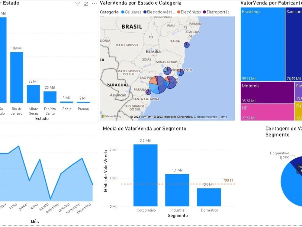
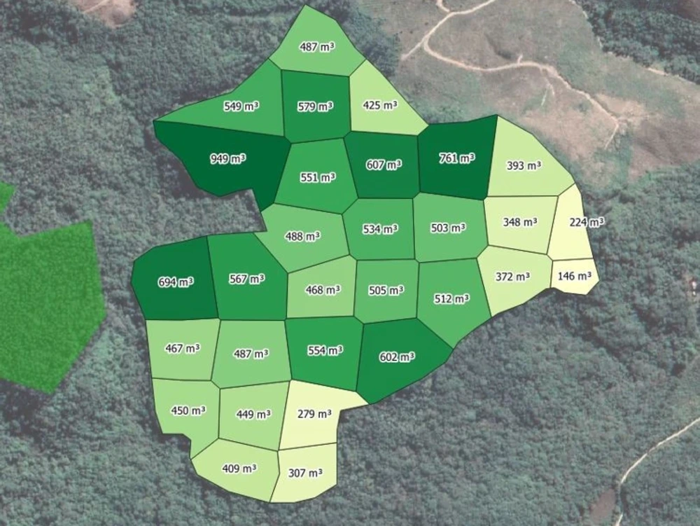
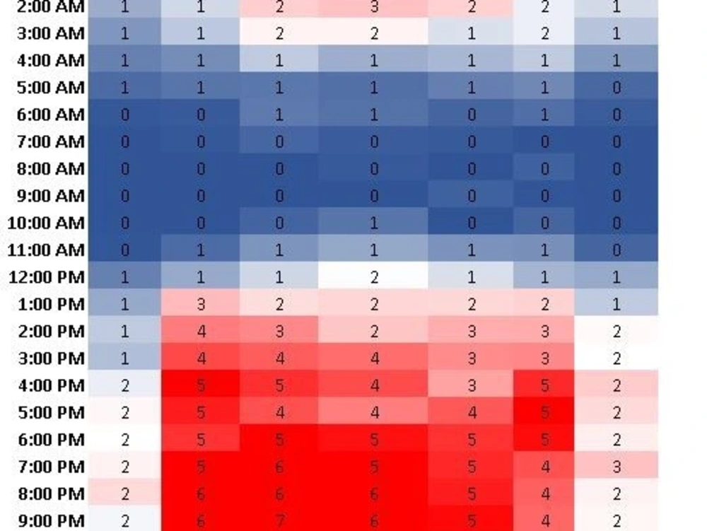
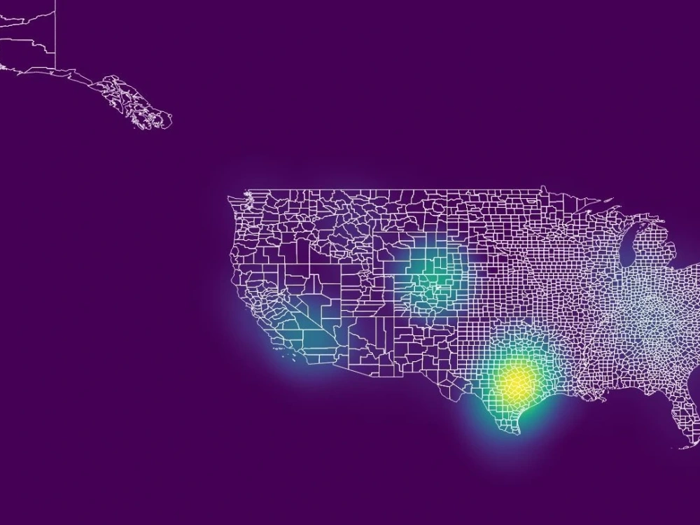
I specialize in transforming raw data into clear, interactive dashboards and visual reports that drive real decision-making. What sets me apart is my unique combination of Data Science expertise and practical business insight—I don’t just create charts, I design dashboards that tell a story and highlight what matters most.
With a Master’s in Data Science, an MBA, and 5⭐ reviews from multiple clients, I deliver professional-quality visualizations quickly, with attention to detail and flexibility. Whether you need Excel, Power BI, or Looker Studio, I provide tailored solutions that turn complexity into clarity.
With a Master’s in Data Science, an MBA, and 5⭐ reviews from multiple clients, I deliver professional-quality visualizations quickly, with attention to detail and flexibility. Whether you need Excel, Power BI, or Looker Studio, I provide tailored solutions that turn complexity into clarity.
Data Tool
Microsoft Power BIWhat's included $75
These options are included with the project scope.
$75
- Delivery Time 2 days
- Number of Revisions 1
- Number of Graphs/Charts 10
- Number of Variations 1
- Data Source Connectivity
- Interactive/Animated Visuals
Optional add-ons
You can add these on the next page.
Fast 1 Day Delivery
+$25
17 reviews
(16)
(0)
(1)
(0)
(0)
This project doesn't have any reviews.
EM
Elvis M.
Jun 1, 2026
Lead Generation Specialist for Construction Material Stores (Brazil)
Avner was fast and did a good job. I would hire him again!
CK
Chris K.
Jun 1, 2026
GIS Data Analysis for Street Footfall in Lucca, Italy
KJ
Kendall J.
Apr 13, 2026
Katapult Engineer with GIS knowledge
LC
Larry C.
Mar 25, 2026
Lidar/DEM/Point Cloud Terrain Processing for Residential Site Planning (DWG/CSV Output)
Avner is truly a blessing to work with. He was extremely responsive and thorough. The difficulty in my task was mostly my own ignorance. Avner was willing to offer support and even encouragement to help me complete the task his work was requested used to complete. I look forward offering Abner more projects in the future because I enjoy working with wonderful people and am thrilled to be privileged to work with such a knowledgeable and skilled individual. He makes difficult task seem easy and it a true professional. Thank you Abner for your encouragement and your willingness to help on this project. I look forward to the next opportunity we have to work together!
TD
Tiago D.
Mar 4, 2026
Especialista GIS para regularização fundiária
🇬🇧 Avner was responsive, proactive and very professional - everything you need from a collaborator.
🇵🇹 Avner foi atencioso, proativo e muito profissional - tudo o que se espera de um colaborador.
🇵🇹 Avner foi atencioso, proativo e muito profissional - tudo o que se espera de um colaborador.
About Avner
Geo Data Scientist | PostGIS Pipelines, Geospatial ML & Dashboards
95%
Job Success
Curitiba, Brazil - 11:14 am local time
I am a Data Scientist and Forest Engineer with 10+ years of experience. I currently lead the Data Intelligence area for the Planning Advisory Department at IDR-Paraná, where my pipelines support 399 municipalities and inform an agricultural and forestry sector worth billions. In practice that means I do four things most GIS freelancers do not do together:
Geospatial data engineering. Production Python + PostGIS pipelines that pull multi-source data (satellite, census, trade, land prices, field data) into clean, reproducible datasets. Scheduled and tested with GitHub Actions, not one-off scripts.
Machine learning on spatial data. scikit-learn and PyTorch models for time-series forecasting, clustering and segmentation, and collaborative filtering. The “what does this mean and what happens next” layer, not just the map.
Decision dashboards. Interactive Plotly/Dash and Power BI dashboards that stakeholders actually use to decide. I built Datageo Paraná, a public platform with 10 interactive dashboards spanning 30+ years of data and 400+ products (VBP, census, ComexStat, employment, land prices, forestry prices).
Domain depth. Forestry, agribusiness, sustainability and public-sector analytics. I have led FSC- and NR-31-compliant operations across multi-million-hectare projects, so I understand the data and the decisions behind it.
What you get when you hire me: a clear scope up front, fast and direct communication, a documented methodology, original analysis (never recycled or plagiarized), and a full handoff of the maps, the validated pipeline and the code. You own everything at the end.
Tools: Python, PostGIS / PostgreSQL, QGIS, scikit-learn, PyTorch, Plotly/Dash, Power BI, Supabase, GitHub Actions, GDAL/GeoPandas/Shapely/rasterio, SQL.
Good fit if you need: satellite / remote-sensing analysis, geospatial web scraping and data acquisition, spatial data pipelines, forecasting or segmentation on geographic data, interactive geo dashboards, or forestry / agribusiness / environmental decision analytics.
If you have geographic data and a decision to make, message me. I will tell you honestly whether I am the right fit and what the smallest useful first step looks like.
Steps for completing your project
After purchasing the project, send requirements so Avner can start the project.
Delivery time starts when Avner receives requirements from you.
Avner works on your project following the steps below.
Revisions may occur after the delivery date.
Data cleanin and formating
I will take your data standarized and formated to help the analysis.
Preview
I will send you a preview of the analysis depending on the data types and quality