You will get Web GIS Advance Map Drawing Tools

Project details
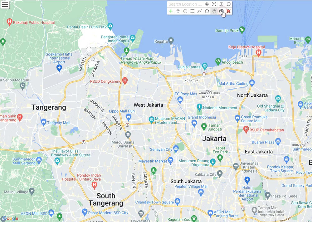
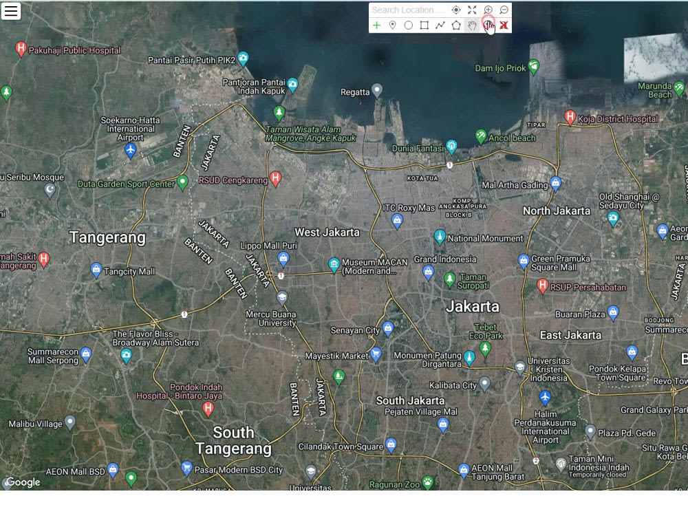
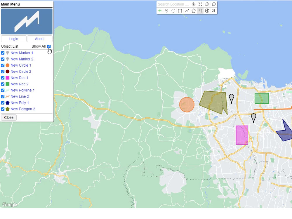
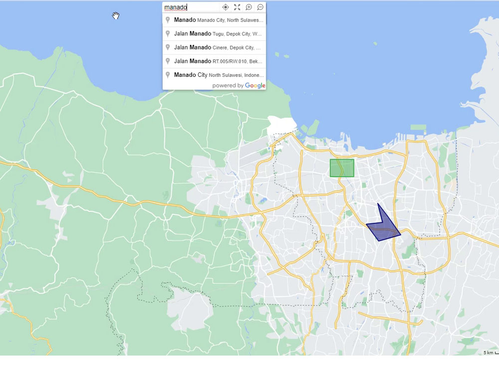
GIS Web Application for Drawing objects on a map canvas, the mapping objects are Pin Marker, Polygon, Polyline, Circle and Rectangle.
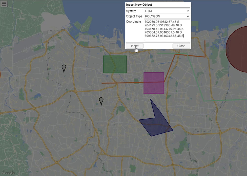
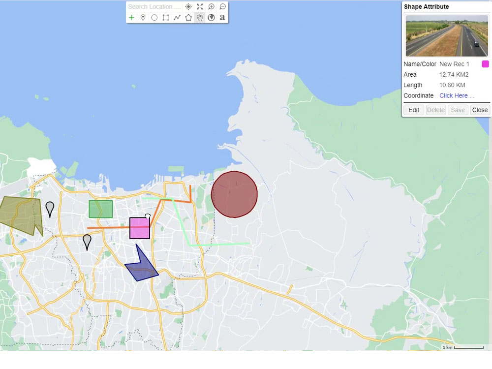
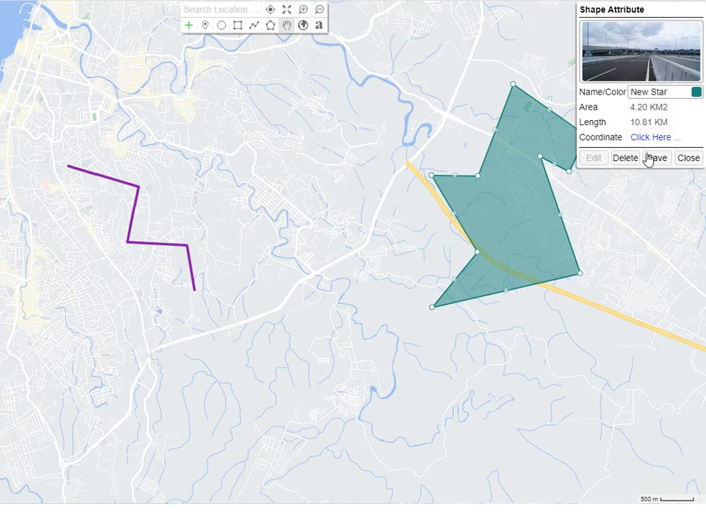
This application allows you to input attribute data on map objects that you draw and can also be saved in the database.
Can perform create, read, update, delete (CRUD) operations.
Features:
• Draw map object.
• Automatic get data attributes such coordinate, length, or radius on Circle.
• Input coordinates to create map objects based on 3 coordinate systems, LatLng, UTM, DMS.
• Measurement the map object.
• Coordinate system conversion, LatLng, UTM, DMS.
• Enter additional data on the object, such text or image.
• Store map object to Database.
Programming Languages
HTML & CSS, JavaScriptCoding Expertise
Cross Browser & Device Compatibility, Performance Optimization, DesignWhat's included $500
These options are included with the project scope.
$500
- Delivery Time 7 days
- Number of Revisions Unlimited
- Number of Pages 1
- Design Customization
- Content Upload
- Responsive Design
- Source Code
Frequently asked questions
About Winsten
GIS Developer
Jakarta, Indonesia - 8:26 am local time
Steps for completing your project
After purchasing the project, send requirements so Winsten can start the project.
Delivery time starts when Winsten receives requirements from you.
Winsten works on your project following the steps below.
Revisions may occur after the delivery date.
Create Advance GIS