You will get you geographic data transformed

Project details
Data extraction, transformation and loading service with geospatial components. Data can come from Oracle (Spatial), SQL Server 2008 R2+, PostGIS, Geopackage, Geomedia MDB, Intergraph Smartstore, MySQL, ESRI E00, File geodatabase, Shape File, Microstation Geographics, Autodesk CAD, CSV, JSon, etc.
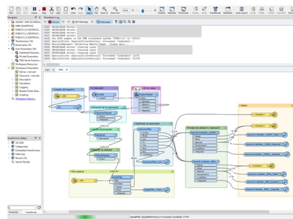
We validate and correct geometric configuration errors, adjust reference system and projection parameters to the best possible values when errors exist.
We can deliver the results in SQL, binary, geopackage, Shape (not recommended) backup files or directly to a data repository that currently uses and supports geospatial components.
What's included
| Service Tiers |
Starter
$1,500
|
Standard
$2,500
|
Advanced
$4,500
|
|---|---|---|---|
| Delivery Time | 5 days | 7 days | 10 days |
Number of Revisions | 1 | 1 | 2 |
Optional add-ons
You can add these on the next page.
Fast Delivery
+$500 - $1,500
Additional Revision
+$300Frequently asked questions
About Rocco Abel Luciano
Technologist specialized in the enablement of spatial information
Tlalpan, Mexico - 12:11 am local time
Physicist from the University of Havana, with a professional career of more than 30 years in the field of the application of technological solutions for the resolution of different business needs, strategic project management, business and business development. Among his first achievements is the development and implementation of the first system of procedures and services to the public and citizen attention when he was the title of the Under director of Citizen Service Systems, the first internet page in the Government of Mexico City in 1998.
He was the founder of the Information Technology Coordination of the Ministry of Urban Development and Housing (1999) implementing the first information system on land uses, the growth monitoring service of the then Federal District and the establishment of interoperability with the Cadaster in the Treasury, in addition to establishing as vice president of the GDF Information Technology Committee (1999-2001) the technical policies and evaluating the technological projects.
He advised the General Director of Cadaster of the National Agrarian Registry during the technological modernization project, he was general director of several companies such as Senior Management Systems, FR Facility and Resources and GeoIT where he contributed with his experience and knowledge.
As an expert technologist, he contributed to the success of cadaster and registration projects in the RAN, Municipality of Puerto Vallarta (1993), Oaxaca (1994), Zacatecas (1994), Mexico City (2000- 2001), Tamaulipas (2013), Michoacán (2021) and Puebla (2023- 2024). Regarding the analysis and modeling of telecommunications networks, he participated in the SINFONIA (Telmex), Social and Open Network (SCT) and "Red Troncal" (SCT-Bain & Co) projects. The study of demand for line 12 of the STC metro as part of the IP team was another of his relevant contributions.
Steps for completing your project
After purchasing the project, send requirements so Rocco Abel Luciano can start the project.
Delivery time starts when Rocco Abel Luciano receives requirements from you.
Rocco Abel Luciano works on your project following the steps below.
Revisions may occur after the delivery date.
Report on the type, format and volume of geospatial and alphanumeric data.
Report on the type, format and volume of geospatial and alphanumeric data you need to process.
Send me a sample of about 100 records to see the quality and type of data.
Please send me a sample of about 100 records to determine the quality and type of data. It is important that I can assess whether the objectives can be met.