You will get interactive web map in geojson, leaflet, html, css and js
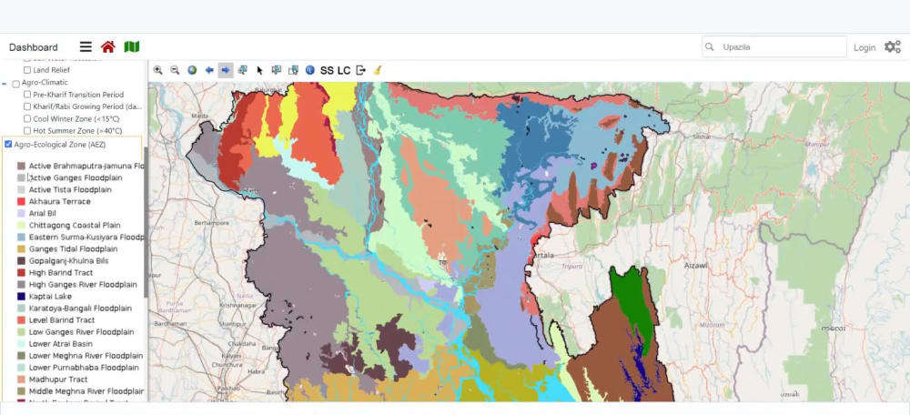
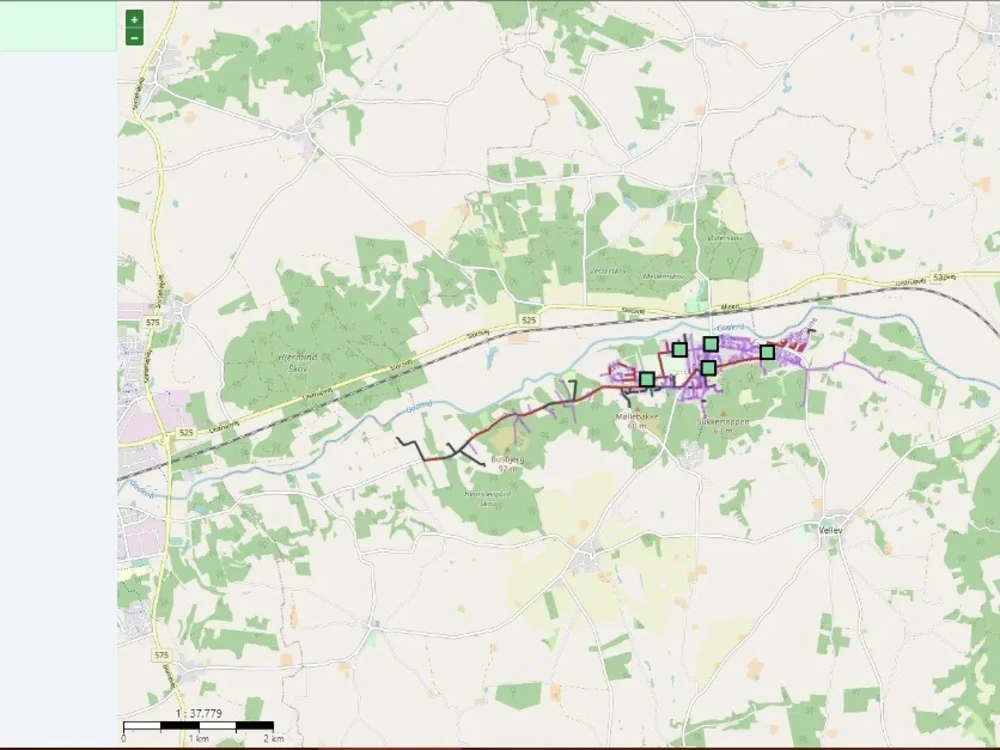


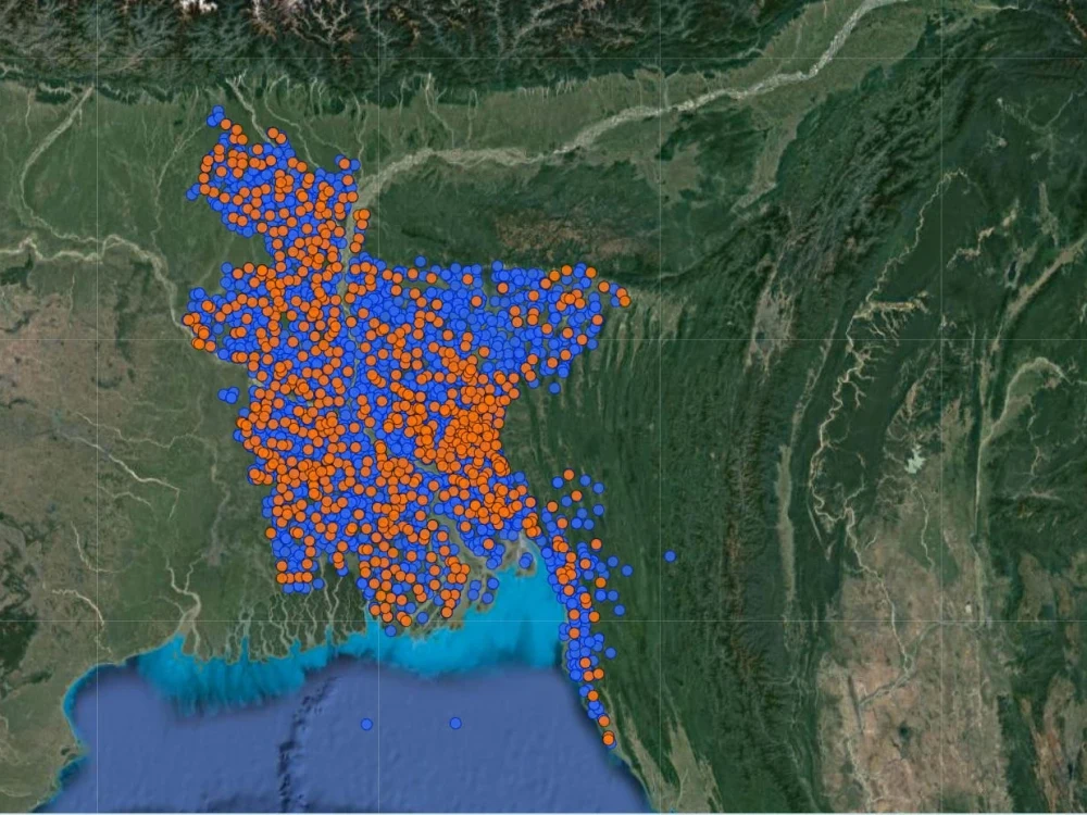
Project details
Web GIS is the best technology for presentation of your geographic data.
# Leaflet js mapping library
# Visualize vector data in GeoJSON on the web
# Responsive design that fits in all device
# Administrative boundaries - world, country, state, province, county, territory, zip code, postal code, municipality, city, neighborhood
Basic Features:
# Map data organized in points and polygons
# Panel to switch layers turn on or off
# Panel for Basemaps like OpenStreetMap, Google Hybrid, Satellite, Street etc
# Display popup information about map layers at on click or mouse hover
# Bootstrap design
Standard Features:
# Filter options from map data based on multiple criteria
# Search option by name
# Buffer, intersection, distance measurement
Optional Services (Gig Extras)
# Embed map to website
# Leaflet js mapping library
# Visualize vector data in GeoJSON on the web
# Responsive design that fits in all device
# Administrative boundaries - world, country, state, province, county, territory, zip code, postal code, municipality, city, neighborhood
Basic Features:
# Map data organized in points and polygons
# Panel to switch layers turn on or off
# Panel for Basemaps like OpenStreetMap, Google Hybrid, Satellite, Street etc
# Display popup information about map layers at on click or mouse hover
# Bootstrap design
Standard Features:
# Filter options from map data based on multiple criteria
# Search option by name
# Buffer, intersection, distance measurement
Optional Services (Gig Extras)
# Embed map to website
Programming Languages
PHP, HTML & CSS, JavaScriptCoding Expertise
Cross Browser & Device Compatibility, Localization, DesignWhat's included
| Service Tiers |
Starter
$200
|
Standard
$300
|
Advanced
$400
|
|---|---|---|---|
| Delivery Time | 2 days | 3 days | 7 days |
Number of Revisions | 2 | 3 | 5 |
Number of Pages | 1 | 1 | 1 |
Design Customization | |||
Content Upload | - | - | |
Responsive Design | |||
Source Code |
2 reviews
(2)
(0)
(0)
(0)
(0)
This project doesn't have any reviews.
AR
Aivn R.
Dec 8, 2022
WordPress map query implementation
RB
Rebecca B.
Dec 6, 2022
Web GIS Project
Sakil Ahmed did an excellent job. He is great for any GIS development projects. He is a very smart gentleman who can tackle all types of challenges in an incredibly short time. You just need to tell him what you want, that's it. He is very diligent, has a careful working style, and is very cooperative.
About Sakil
Esri ArcGIS Developer | Experience Builder, Python/ArcPy, .NET,PostGIS
Petaling Jaya, Malaysia - 3:43 am local time
My work sits where GIS meets production software:
* ArcGIS Enterprise & Experience Builder — custom Experience Builder widgets in React (charts, data tables, CSV export), Portal administration, user-activity monitoring dashboards, ArcGIS Enterprise deployment and upgrades.
* Real-time & integration — GeoEvent Server pipelines ingesting live feeds (traffic, transit, water quality, social) into operational dashboards; .NET Core integration APIs using RabbitMQ and MongoDB to validate and publish data into ArcGIS Portal, with automated exception reporting.
* Geospatial automation — ArcPy and ArcGIS API for Python; Sentinel-2 land use/land cover classification using Image Server deep-learning tools; FME and FME Server workspaces converting CAD, KML and CSV into GIS-ready data.
* Spatial data engineering — PostgreSQL/PostGIS and SQL Server SDE design, geodatabase modelling, data product specifications for national spatial data infrastructure.
* Application layer — .NET Core, Next.js, React/TypeScript, Laravel, with MapLibre GL JS, Leaflet, OpenLayers and GeoServer on the open-source side.
ArcGIS Maps SDK for JavaScript Associate (Esri, 2024) · MSc GIS for Environment & Development · MSc Information Technology · BSc Computer Science & Engineering
Best fit for enterprise ArcGIS work, geospatial integration and automation, and Web GIS applications that have to run in production. If you need a one-off static map, I'm not your most economical option.
Steps for completing your project
After purchasing the project, send requirements so Sakil can start the project.
Delivery time starts when Sakil receives requirements from you.
Sakil works on your project following the steps below.
Revisions may occur after the delivery date.
Requirements analysis and solution design
Data analysis and map preparation