You will get Custom Interactive Web Map for Your Business or NGO
Project details
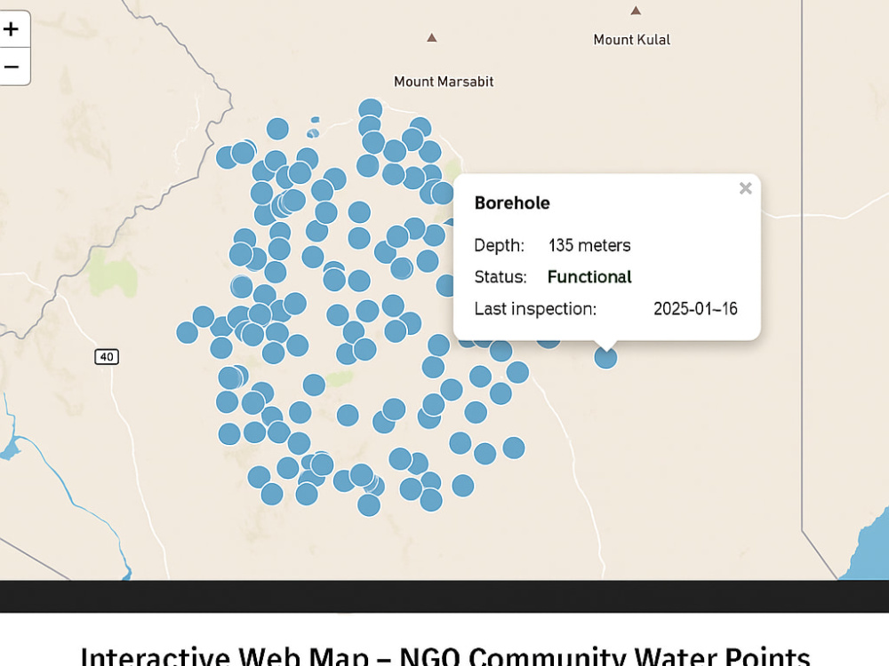
This project delivers a professional, branded, interactive web map designed to clearly communicate spatial data and drive user engagement. It combines expert GIS knowledge with sleek frontend design using HTML, CSS, JavaScript, Leaflet, Mapbox, and more. Ideal for NGOs, government agencies, researchers, and businesses that want to share geospatial insights with the world.
Standard package: One static or dynamic map with up to 2 data layers and basic interactivity.
Advanced package: Multi-layer maps with filters, dashboards, web app integration, and custom styling.
🔹 What Sets Me and This Project Apart
✅ Real-world experience: I’ve worked with government, NGOs, and startups on geospatial projects ranging from school assessments to power grid mapping.
✅ Custom-first approach: Every map is uniquely built around your data, goals, and branding—not from a template.
✅ Affordable quality: Get professional-grade web maps at a fraction of the typical agency cost.
Programming Languages
HTML & CSS, JavaScript, PythonCoding Expertise
Performance Optimization, DesignWhat's included
| Service Tiers |
Starter
$50
|
Standard
$100
|
Advanced
$300
|
|---|---|---|---|
| Delivery Time | 5 days | 7 days | 15 days |
Number of Revisions | 1 | 2 | 3 |
Number of Pages | 1 | 2 | 2 |
Design Customization | - | ||
Content Upload | - | ||
Responsive Design | |||
Source Code | - |
Optional add-ons
You can add these on the next page.
Fast Delivery
+$20 - $50Frequently asked questions
About Evans
GIS & Remote Sensing Expert | Web Mapping | Full Stack Developer
Nairobi, Kenya - 9:06 pm local time
I specialize in: 🌍 Software Development, Spatial data analysis, thematic mapping, and land use classification
📡 Remote sensing for environmental monitoring and agricultural mapping
🗺️ High-quality cartographic design and map production (topo maps, cadastral, heat maps)
🌐 Web GIS solutions and interactive dashboards using HTML, CSS, JavaScript, Flask, and Bootstrap
Professional dynamic websites and software.
📊 PostgreSQL, SQL databases, and integration of GIS datasets with web applications
🔧 Tools & Technologies:
GIS Software: ArcGIS, QGIS, Google Earth Pro
Dev Stack: HTML, CSS, JavaScript, Flask, Bootstrap, Python
Database: PostgreSQL, SQL
Mapping Platforms: QField, ArcGIS Online, Leaflet, and more
Whether you need Dynamic Websites, data collection, survey mapping, web-based GIS solutions, or full-cycle spatial analysis—I deliver with precision, professionalism, and a strong sense of purpose.
📬 Let’s work together to transform your geospatial and business data into meaningful insights and interactive tools that drive decision-making.
Steps for completing your project
After purchasing the project, send requirements so Evans can start the project.
Delivery time starts when Evans receives requirements from you.
Evans works on your project following the steps below.
Revisions may occur after the delivery date.
Requirement Gathering
Review the client’s responses to the intake checklist. Schedule a brief call (if needed) to clarify project goals, data availability, and desired features.
Data Acquisition & Preparation
Collect geospatial data from the client or public repositories. Clean, validate, and format data (e.g., convert to GeoJSON, CSV, or shapefiles). Perform coordinate system checks and ensure data accuracy.